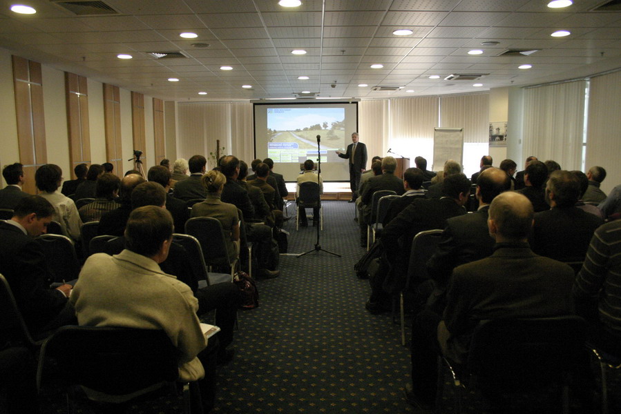


Please find below a preliminary agenda of the Conference. It will be updated as new applications from participants are available (list of participants can be found in the corresponding section). You will be able to download the final agenda as a .pdf file when we settle the reports schedule.
1. Geodesy: tools, software, technologies
- Integrating & Adapting Modern Mapping Technologies to Map Locally, via a Global Company Structure. Tom Tadrowski (AEROmetrex Group/Australia)
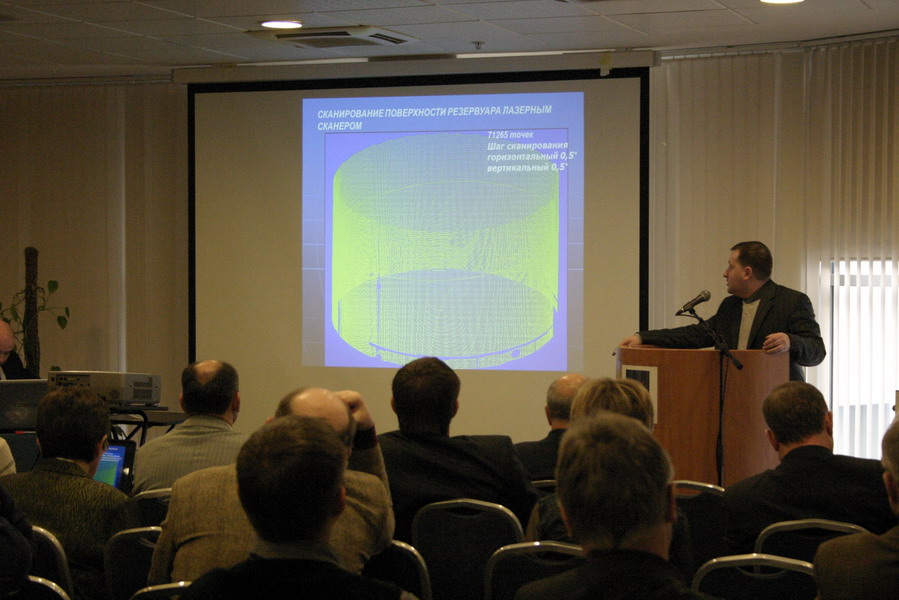
- Determination of geometrical parameters of cylindrical reservoirs by terrestrial laser scanning method. Roman V. Schultz (Kiev National University of Construction and Architecture/Ukraine)
2. Airborne remote sensing and digital aerial survey
- New airborne sensors and platforms for specific applications in photogrammetry and remote sensing. Gerhard Kemper (GGS company Speyer/Germany)
- New Terrasolid technologies for airborne and vehicle based lidar processing: more precise, efficient and safe data acquisition methods. Mika Salolahti (Terrasolid/Finland)
- Aerial survey equipment by Leica Geosystems. Valentin V. Zaitsev (Leica Geosystems/Russia, Moscow)
- Vexcel Imaging GmbH – Innovating in Photogrammetry UltraCamXp, UltraCamLp and UltraMap. Engelbert Breg (Microsoft/Austria)
- Bing Maps – global geoinformation service from Microsoft. Engelbert Breg (Microsoft/Austria)
- Vexcel Imaging GmbH – Innovation is not only a word. Engelbert Breg (Microsoft/Austria)
- Metric Imaging Technologies for Photogrammetrical and Remote Sensing Applications. Tobias Tolg (Trimble Holdings GmbH/Germany)
- «Eye of the Earth – eye of Omniscience» – the global aerospace remote introscopy system. Robert D. Muhamedyarov (ZAO «Institute for aerospace instrument engineering»/Russia, Kazan)
- Method of video and thermal imaging generalization for solving geotechnogenic problems. Robert D. Muhamedyarov (ZAO « Institute for aerospace instrument engineering»/Russia, Kazan)
- Modern equipment for searching underground communications. Aleksey N. Mokretzov ( ZAO «SPE «Radio-Service»/Russia, Izhevsk)
- Fulfilling the Promise of Digital Imagery. Julien Losseau (DiMAC Systems s.a r.l/Luxemburg)
- IGIs modular system concept. Christian Grimm (IGI/Germany)
- Results of DGPF scientific camera tests. Christian Grimm (IGI/Germany)
- An airborne laser scaning sistem. Sergei L. Kandelinsky (“United Institute of Informatics Problems of the NAS of Belarus”/Belarus)
3. Lidar technologies
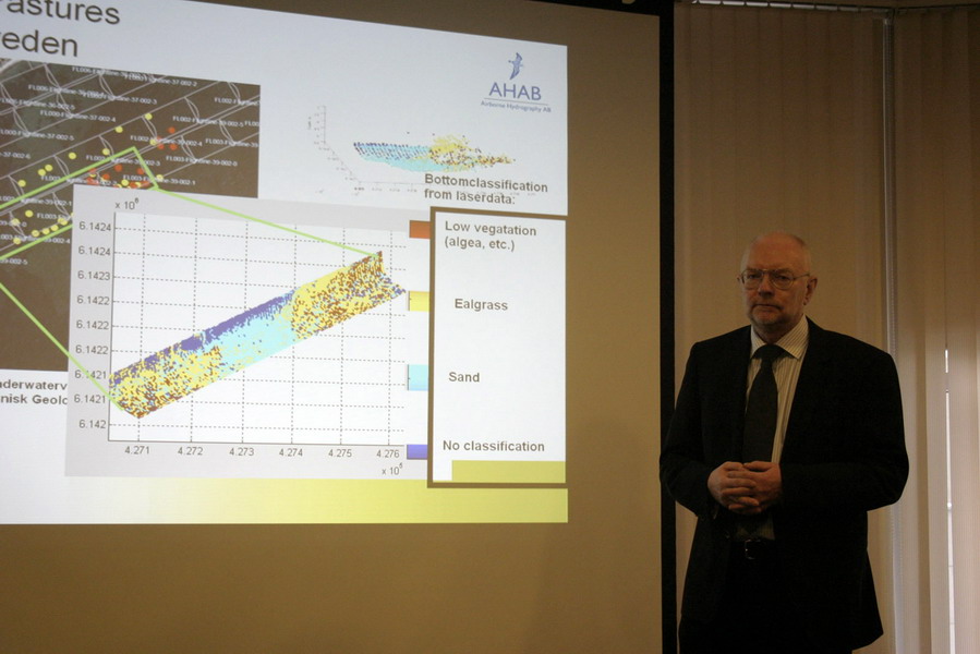
- Experiences from 5 years of Bathymetric Lidar. Carl-Johan Stigemark (Airborne Hydrography AB/Sweden)
- The experience of using and development perspectives lidar survey in Kazakhstan. Аygul Kenesbaeva (Ltd “GeoKOD”/Kazakhstan)
- The experience of the use of advanced software solutions for processing of airborne lidar survey data. Dmitriy N. Akopov (Ltd “Aerokosmicheskie tehnologii”/Russia, Krasnodar)
- Obtaining and using ultra-high resolution aerial survey data for railroads condition monitoring. Sergei N. Cherkesov (Ltd “Aerokosmicheskie tehnologii”/Russia, Krasnodar)
- Software and hardware solution of Trimble for laser scanning. Terrestrial laser 3D scanner Trimble GX and software complex Trimble Realworks. Eugene V. Kalabin (ZAO “PRIN”/Russia, Moscow)
- Using of laser scanning and digital photogrammetric survey data for recording architectural monuments condition. Sergei G. Tihonov (OOO SPE “Photogrammetry”/ Russia, St. Petersburg)
4. Mine survey
- Development of a method of underground mines survey with mobile scanning systems. Eugene N. Belyaev, Anatoly L. Okhotin (Ltd. SPE “BaikalGeoServis”/Russia, Irkutsk)
- Development of a method of profiling, pointing and transmitting the elevation point in incline shafts and vertical holes with the scanning system. Semen O. Gridnev, Anatoly L. Okhotin (Ltd. SPE “BaikalGeoServis”/Russia, Irkutsk)
- Laser location practices in mine surveying. Anatoly L. Okhotin (Ltd. SPE “BaikalGeoServis”/Russia, Irkutsk)
5. Practical application in the sphere of geodesy and topography, engineering survey, mine survey, photogrammetry, airborne remote sensing
- Measuring of facades of buildings by stereophotogrammetric methods in AutoCAD. Aleksandr E. Voinarovsky (OOO SPE “Photogrammetry”/ Russia, St. Petersburg)
- Remote sensing methods in a complex of design and survey works in the road and transport branch. Konstantin M. Yaichkov (OAO “GIPRODORNII”/Russia, Moscow)
6. Global Navigational Satellite Systems, direct georeferencing systems
- Modern practices of satellite survey using WEB services of measured data processing. Sergei A. Mironov (ZAO “Geotechnologies”/Russia, Moscow)
- Detection of photographic centers in a large-scale aerial survey by satellite methods at far distances from base stations. Sergei A. Mironov (ZAO “Geotechnologies”/Russia, Moscow)
7. Survey data interpretation & mapping
- ORTHO10 – development of ORTHOREGION series of products from SOVZOND Company. Mihail A. Bolsunovsky (OOO “SOVZOND Company”/Russia, Moscow)
8. Education
- Industrial Training in Geodesy, Photogrammetry and Kartography. Anna D. Alyabieva (OOO “Tehnologiya 2000″/Russia, Ekaterinburg)
- Perspectives of further development of geodesic education in Russia. В.А. Малинников, В.В. Шлапак (MOSCOW STATE UNIVERSITY OF GEODESY AND CARTOGRAPHY (MIIGAiK)/Russia, Moscow)
9. Economics of geomatics
10. Mathematical methods of geospatial data processing and geomorphology
- Cartographic quality contouring in PHOTOMOD 5.0. Andrey Sechin (Racurs Ltd./Russia, Moscow)
- Investigation of the possibilities of three-dimensional modeling in “Neva” and “Panorama” software systems. V.S. Gruzinov, A.A. Denisov, M.N. Salimov (Moscow State University of Geodesy and Cartography (MIIGAiK)/Russia, Moscow)
11. GIS and internet technologies in geomatics
- Modern geoinformation web-solutions from SOVZOND Company and basic approaches to its implementation. Mihail A. Bolsunovsky (OOO “SOVZOND Company”/Russia, Moscow)
12. Metrology, standardization and certification
13. Aerial survey and GIS technologies in management of natural resources, forest surveying and for post-disaster assessment
- The use of high-end aerial survey and topography-geodesy technologies and devices at nature management. Vasiliy I. Sukhih, Igor M. Danilin (Russian Academy of Science/Russia, Moscow, Krasnoyarsk)
- Innovation aerospace methods and geoinformation systems at land- and forest planning, forest use and monitoring. Alexander S. Isaev, Igor M. Danilin (Russian Academy of Science/Russia, Moscow, Krasnoyarsk)
14. Digital photogrammetry
New software solutions from INPHO company for processing remote sensing data from modern aerial and satellite systems. Olga N. Kolesnikova (OOO “SOVZOND Company”/Russia, Moscow)