III The Conference “Geodesy, Mine Survey and Aerial Photography. At the turn of the centuries”
The program of the III International Research and practice Conference
“Geodesy, Mine Survey and Aerial Topography. At the turn of the centuries”
February, 16
08:30 – 09:30 a.m. Lobby of «Paris» hall, Registration, Welcome, Coffee-break
09:30 – 11. «Paris» hall
The official opening of the Conference and plenary meeting «GMA. At the turn of centuries».
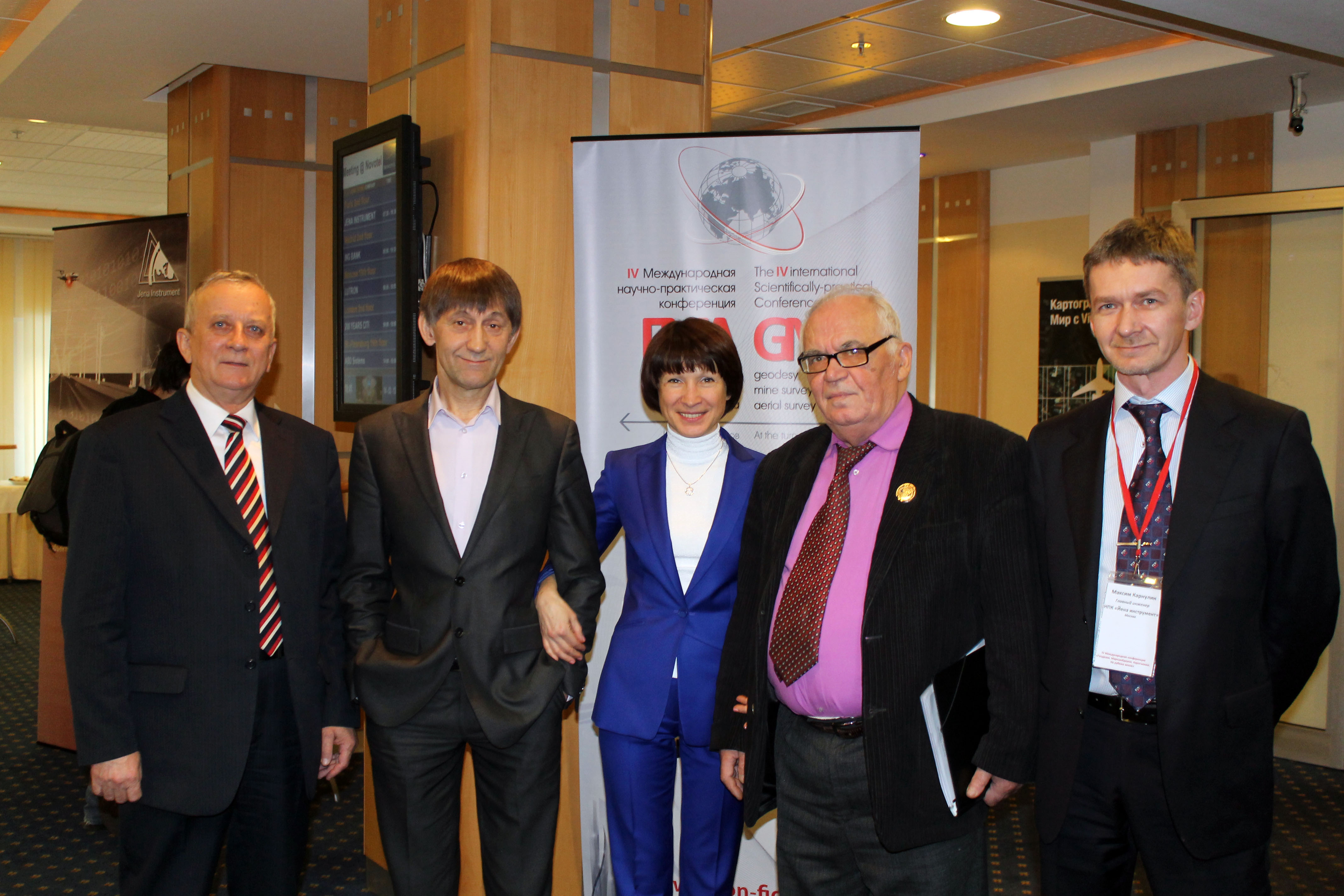
Speakers: V.А.Malinnikov, Professor, chancellor of Moscow State University of Geodesy and Cartography; G.G. Bogchenko General Director of Jena Instrument Company, V.А.Seredovich, Professor, vice-chancellor for Innovations works, А.L.Оhotin, Professor, Head of a chair of Mine Survey and Geodesy of IrGTU, S.G.Коrsey, General Director of NIPISTROYTECH Company
11:20 – 11:40 Lobby of «Paris» hall, Coffee-break №1
11:40 – 14.00 «Paris» hall
Section 1: Arial photography (airborne laser scanning and digital arial photography)
11.40-12.10 Alexander Wiechert, Vexcel Imaging GmbH | a Microsoft Company (Austria). UltraCam – Mapping the world in 3D
12.10-12.40 Martin Reichert, Sensefly (Switserland). Swinglet CAM as an efficient mapping tool
12.40-13.10 Irina Vetsel, Intergraph Corporation | ERDAS (Switzerland). ERDAS Software – From Sensor to Internet
13.10-13.30 Alexandr Molkov, AVIAR (Russia). AVIAPHOTOROBOT – is remotely piloted aviation platform for operative mapping
13.30-14.00 Yuri Raizman, VisionMap (Israel). Further development of the Visionmap A3 mapping systems
14:00 – 15:00 restaurant, lunch break
15:00 – 16.20 «Paris» hall
Section 2: Practical experience. Projects
15.00-15.20 Alexander Vasileiski, NIIAS (Russia), Radar satellite monitoring of railway infrastructure objects
15.20–15.40 Sergei Savruhin, Head of research development department, GPScom (Russia). GPScom (Russia) Usage of high accurate Shark GNSS Systems, developed by GPSCom.
15.40-16.00 Konstantin Konakov, OPTEN Limited (Russia). OPTEN practical experience in airborne laser scanning of overhead transmission power lines in Australia and New Zealand
16.00-16.20 Pavel Orel, Airspace Technologies Ltd (Russia). The specifics of large-scale aerial photograph performing in mountains of the North Caucasus
16.20 – 16:40 Lobby of «Paris» hall, Coffee-break №2
16:40 – 18:00, «Paris» hall»
Section 3: Technology Developments and trends
16.40-17.00 Arkady Mishin, Optech Inc (Russian office). Product Overview of Optech ALTM products and different Applications
17.00-17.20 Aleksey Semenov, PLAZ (Russia) Agisoft PhotoScan: 3D mapping by digital camera for railroad infrastructure
17.20-17.40 Maksim Kaveshnikov Moscow State University of Geodesy and Cartography (Russia). Multipurpose poly-technology training complex for operation with satellite radio-navigation systems GPS/GLONASS
17.40-18.00 Nikolai Golygin, Moscow State University of Geodesy and Cartography (Russia), Inspection and calibration of coordinate geodetic equipments
18.00 – 22:00 restaurant, grand stand-up meal
___________________________________________________________________________________________________
February, 17
08:30 – 09:30 a.m. Lobby of «Paris» hall, Registration, Welcome, Coffee-break
09:30-11:40 The «Paris» hall
Section 1: State-of-the-art technologies of geo-spatial data processing
09.30-9.50 Artem Goranski, GISware Integro (Russia). Terrasolid solution for data processing from mobile laser scanning
9.50-10.20 Michael Petrov, Jena Instrument (Russia). VG4D SmartLiDAR – is integrated application, developed by Virtual Geomatics Company for lidar data processing of railroad infrastructure objects by mobile laser scanning
10.20-10.45 Andrey Sechin, Racurs (Russia). PHOTOMOD 5.21 – New features, perspectives
10.45-11.10 Maria Lutivinskaya, SOVZOND (Russia). INPHO solutions in local projects of SOVZOND Company
11.10-11.40 Ilshat Kasimov, SCANEX R&D Center (Russia). New ways of obtaining satellite imagery data. Tile services
09:30-11:40 The «London» hall
Section 2: Master classes (Workshops)
9.30-10.20 Yuri Raizman, VisionMap (Israel). Development of VisionMap А3 airborne survey systems family
10.20-10.50 Maksim Aleksandrov, Geo-Allianz (Russia). GeoImaging Accelerator – state of the art technology of speedy and automatic processing of aerial and satellite images
10.50-11.40 Dario Conforti, Optech Inc (Canada). 3D analysis and processing of four different LiDAR Lynx Mobile Mapper datasets
11:40 – 12.00 The Lobby of «Paris» hall, Coffee-break №1
12.00 – 14:00 The «Paris» hall
Section 3: Data Acquisition. Mobile and Terrestrial mapping
12.00-12.30 Federica Zampa, Applanix – A Trimble Company(Italy). Continuous mobile scanning using POS LV and ILRIS-MC
12.30-13.00 Kai Degreif, Fraunhofer Institute for Physical Measurement Techniques (Germany). Laser range finders in practical use: Status quo and outlook
13.00-13.20 Dario Conforoti, Optech Inc (Canada). ILRIS Laser Scanner Complete Mining Solution
13.20-13.40 Yuri Emelianov, Technopol (Russia). IXSEA high precised inertial navigation systems as a part of mobile and airborne laser scanning and photogrammetric systems
13.40-14.00 Vsevolod Shulyakovski, ArtGeo (Russia). New Riegl Terrestrial and mobile laser scanners
12.00 – 14.00 The «London» hall
Section 3: Master classes (Workshops)
12.00-12.45 Racurs (Russia). Processing software for UVC images
12.45-14.00 Alexander Wiechert, Vexcel Imaging GmbH | a Microsoft Company (Austria). Introducing of a new UltraCam Eagle camera. Software Overview: UltraMap 2.3 и 3.0
14:00 – 15:00 restaurant, lunch break
15:00 – 16:40 The «Paris» hall
Section 4: Practical experience. Projects
15.00-15.20 Vladimir Manovich, Chief Engineer, Lesinfotorg. Perspective directions of technical development of forest management based on state of the art technologies of remote sensing
15.20-15.40 Valery Philatov, Association of topographic service professionals (Russia). Practical experience in the field of geodesy and topography, engineering surveys, photogrammetry, aerial remote sensing
15.40-16.00 Natalia Kovatch, NIPISTROYTECH. Experience of using mobile mapping technology for production
16.00-16.20 Yuri Kantemirov, SOVZOND (Russia). Space radar for surface monitoring and constructions creeping of mining fields
16.20 – 16.40 The Lobby of «Paris» hall, Coffee-break №2
Section 4: Practical experience. Projects
16.40-17.00 Ilya Farutin, SCANEX R&D Center (Russia). Unique technologies for integrated providing of remote sensing data
17.00-17.20 Olga Kolesnikova, SOVZOND (Russia). Innovations in space technology for integrated projects of Sovzond Company
17.20-17.50 Grand closing of the Conference
18.00 – 22:00 restaurant, grand stand-up meal