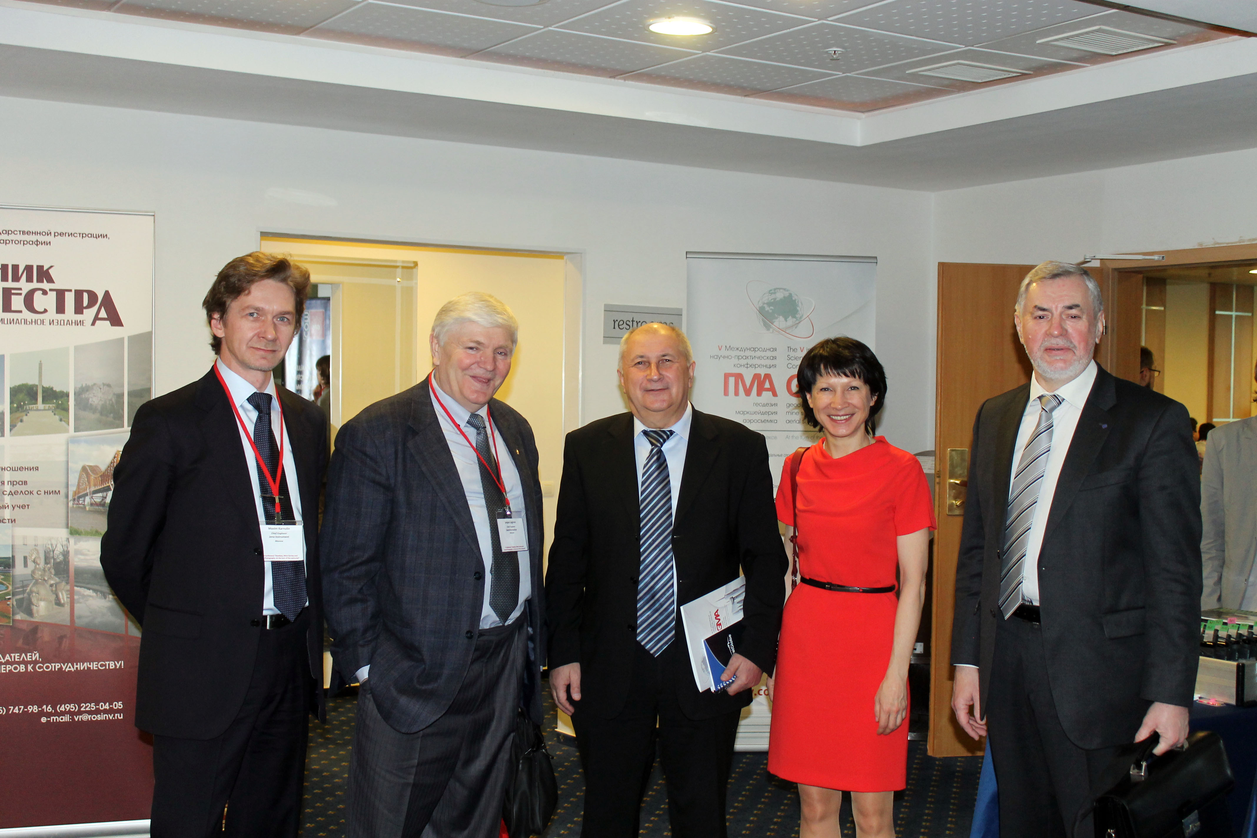
V The Conference “Geodesy, Mine Survey and Aerial Photography. At the turn of the centuries”


The Program of the V Conference
“Geodesy, Mine Survey and Aerial Topography. At the turn of the centuries”
February 13
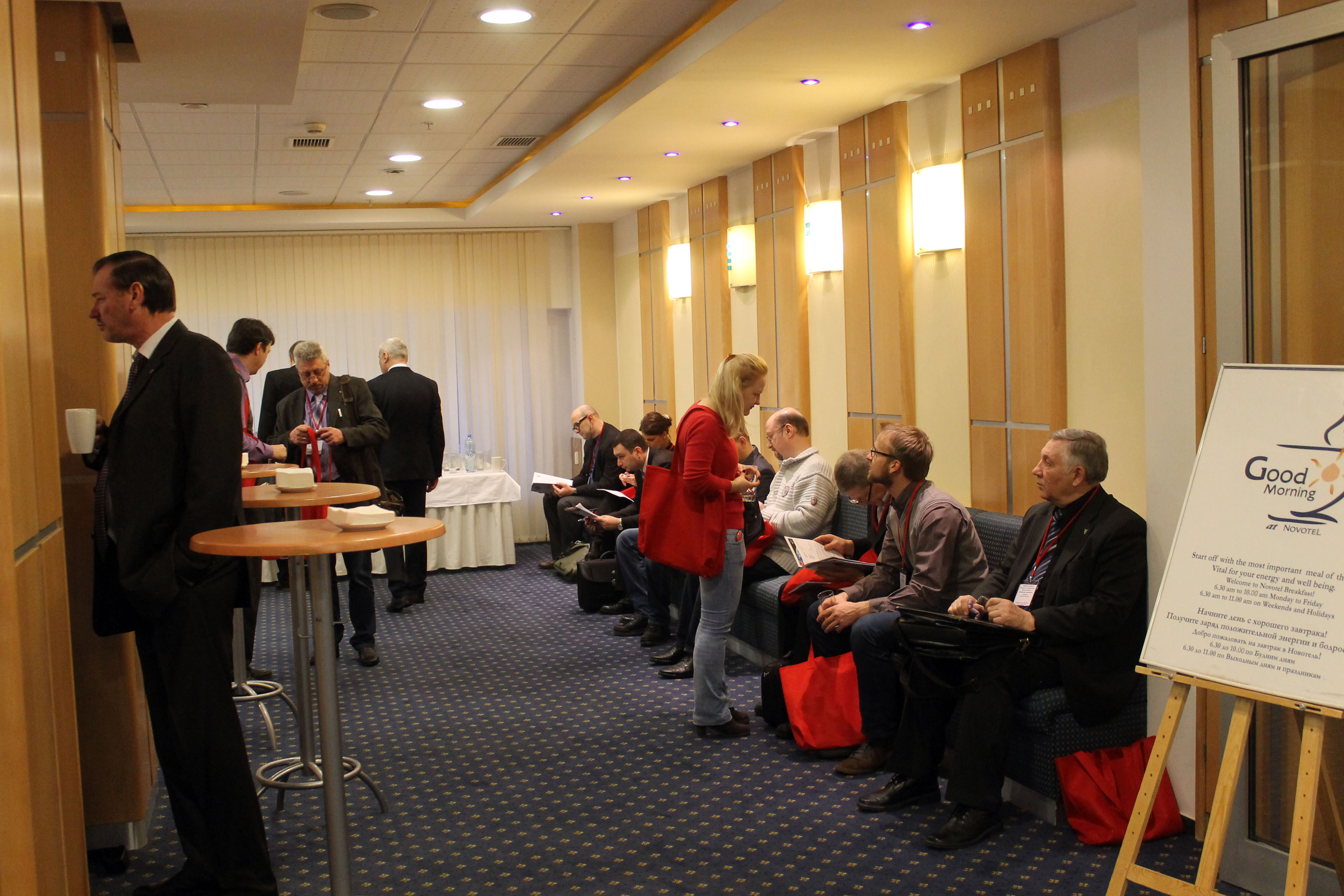
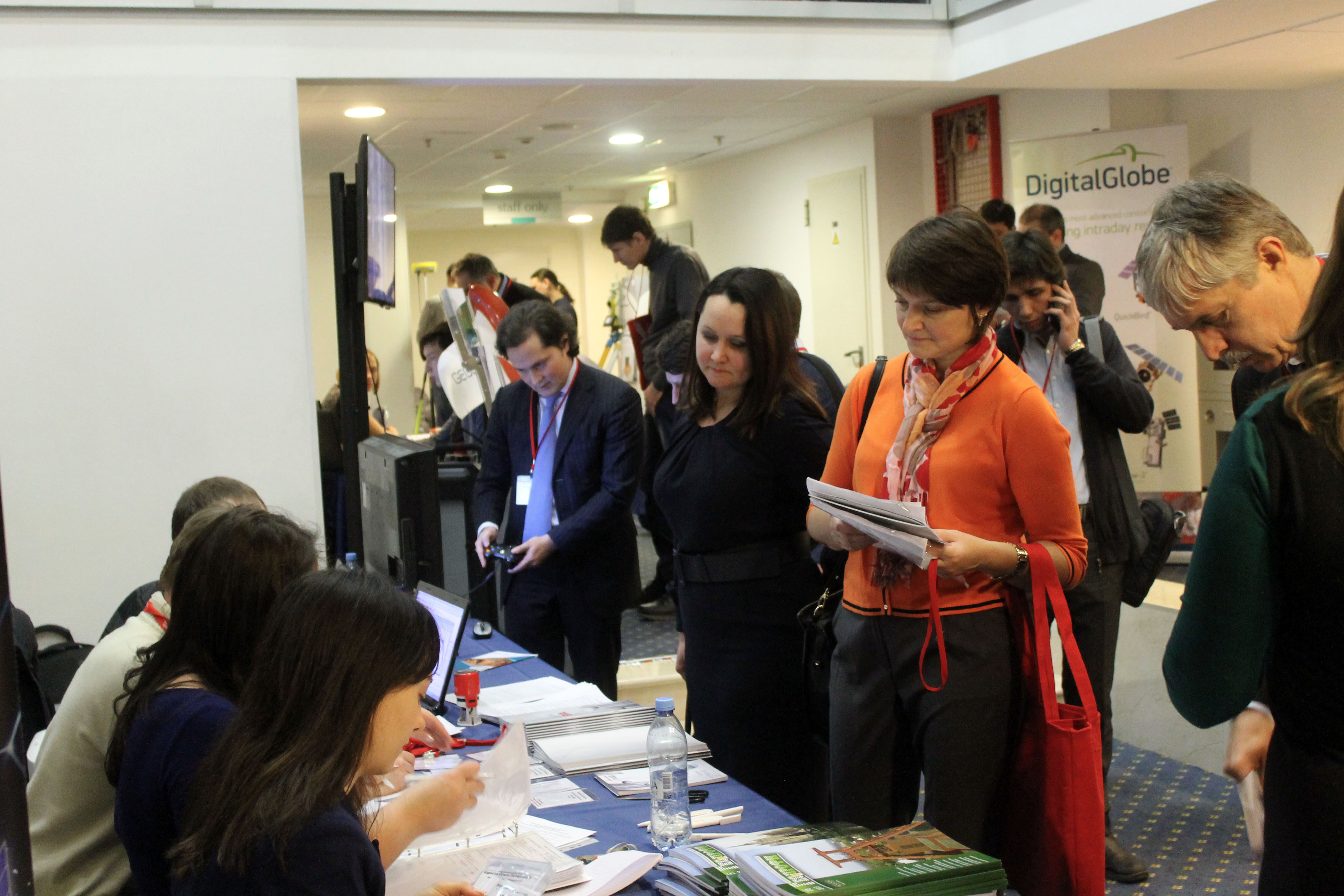
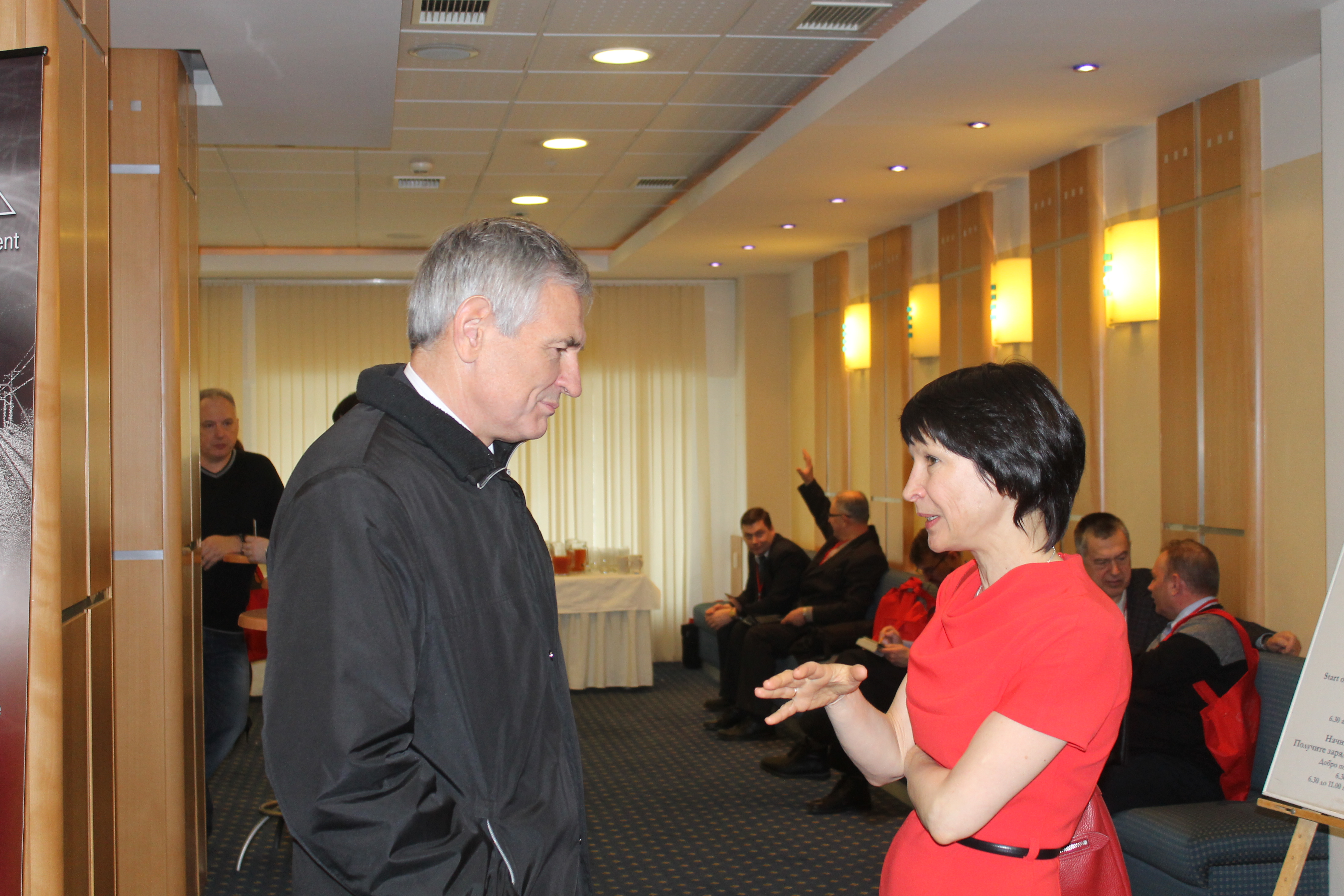
08:30 – 09:30 Lobby of «Paris» hall, Registration, Welcome coffee-break
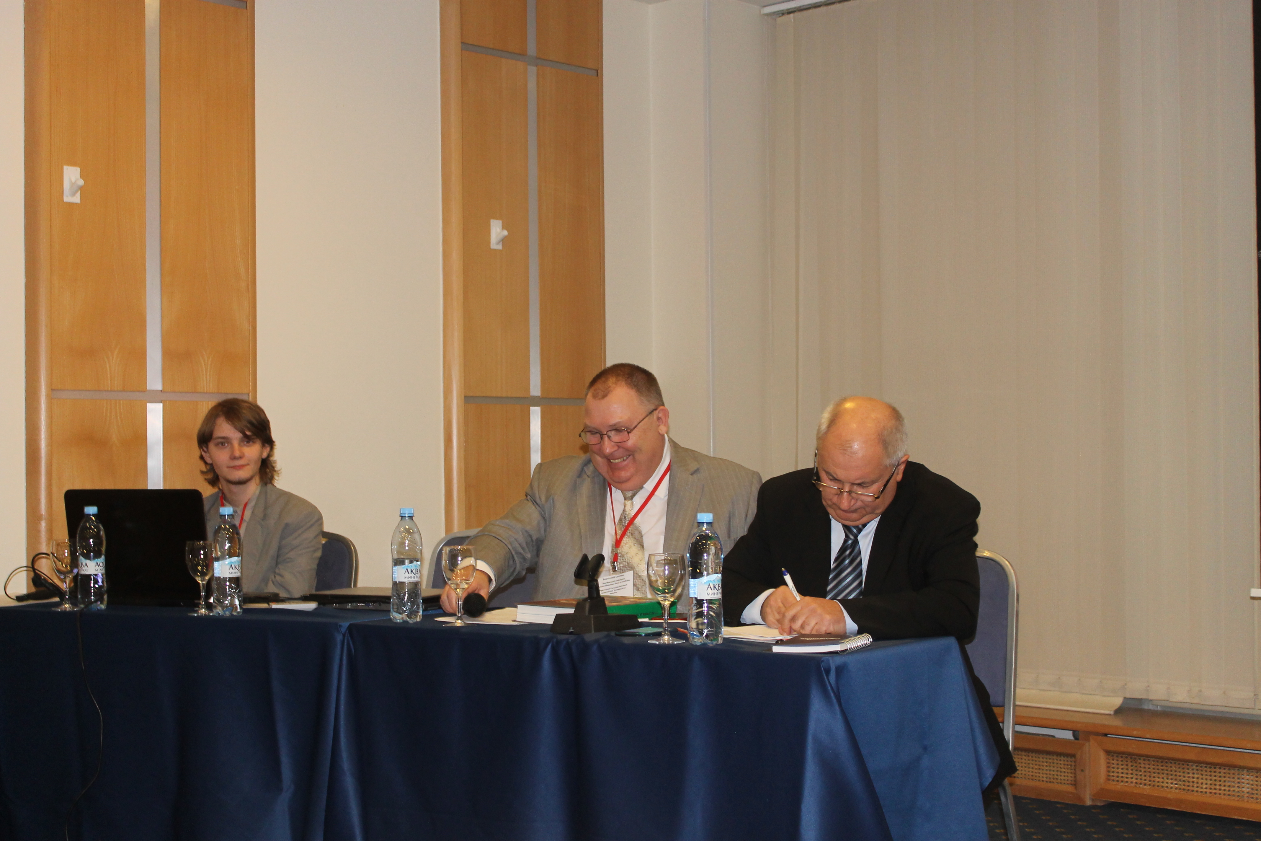
09:30 – 11.00 «Paris» hall – The official opening of the Conference and plenary meeting «GMA. At the turn of centuries»
Speakers:
Official representative of The Federal Service for State Registration, Cadastre and Cartography (Rosreestr),
Andrey Mayorov, Professor, chancellor of Moscow State University of Geodesy and Cartography,
Vladimir Seredovich, Professor, vice-chancellor for Innovations works of Siberian State Academy of Geodesy,
Sergey Miller, Russian GIS-Association,
Anatolii Okhotin, Professor, A chief of mine surveying and geodesy chair, National research Irkutsk State Technical University,
Galina Bozhchenko General Director of Jena Instrument Company, V.А.Seredovich, Professor, vice-chancellor for Innovations works
Sergey Miller, GIS-Association (Moscow) – Current situation on the Russian geodesic market
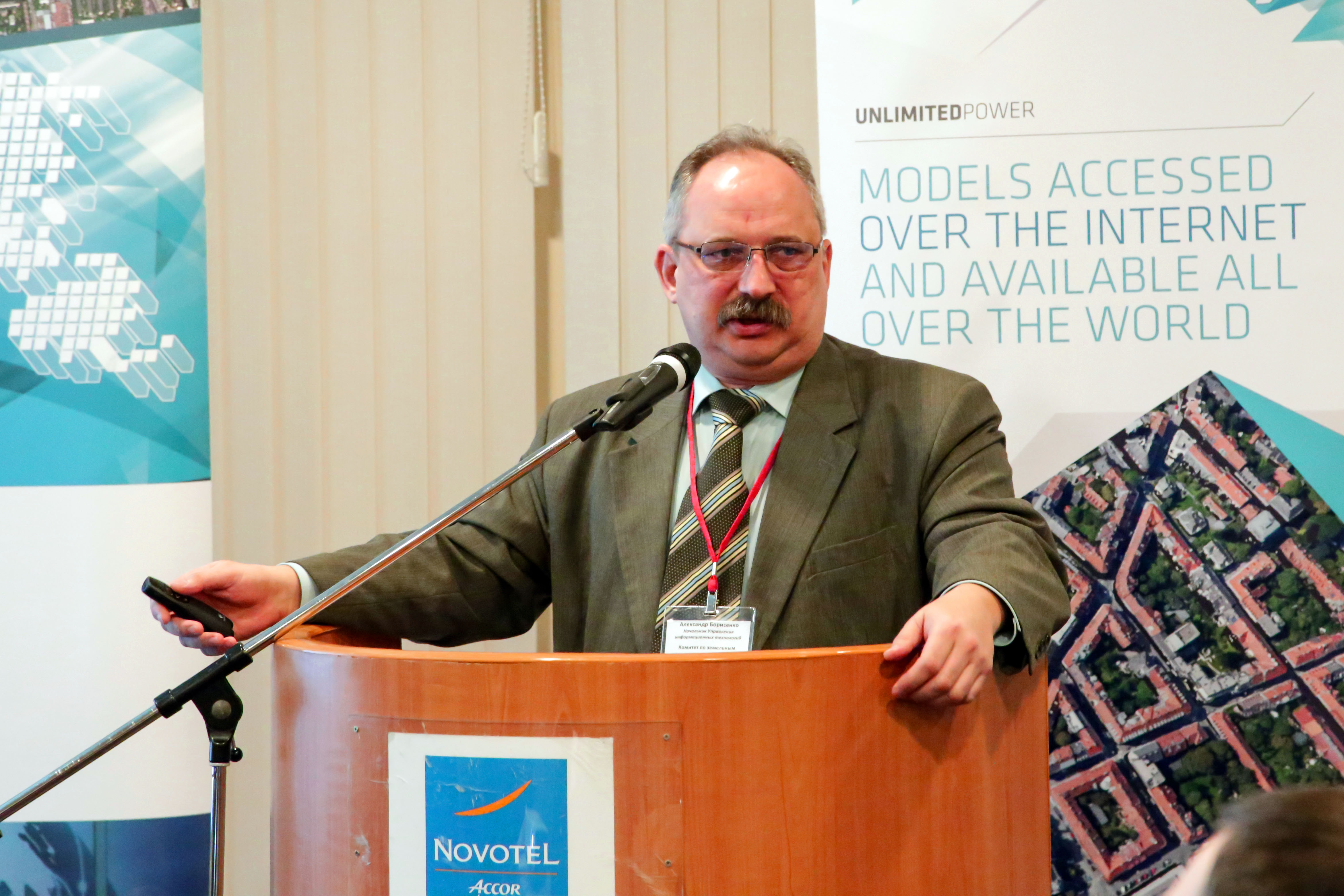
Aktxander Borisenko, Committee on Land Resources of St. Petersburg – Regional Information System “GIS of St. Petersburg”
Valéry Filatov, Association of topographic service professionals, Sergey Prysiazhnyuk, Institute of Telecommunications (St. Petersburg) – Cognitive GIS
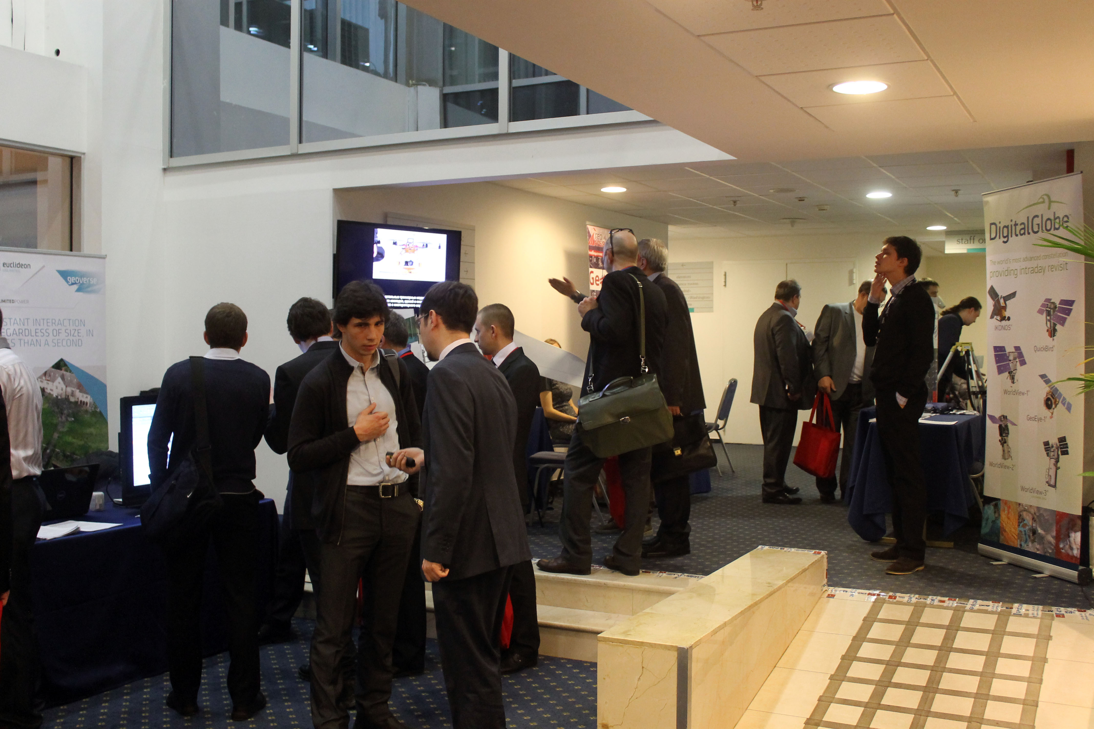
11:00 – 11:20 Lobby of «Paris» hall, Coffee-break
11:20 – 13.00 «Paris» hall – Section 1: Airborne laser scanning and digital aerial photography
Michael Zarzeczny,, Optech Inc (Canada) – Delivering a complete Airborne Solution
Alexander Wiechert, Vexcel Imaging GmbH (Austria) – UltraCam and UltraMap – an Update
Kirill Vasin, Jena Instrument (Moscow) – Experience of integration and application of UltraCam Eagle with DA-42 aircraft
Jason Howse, ITRES Research Limited (Canada) – Sensor & Application Developments at ITRES Research Limited
Yuri Raizman, VisionMap (Israel) – The advantages analysis of A3 EDGE – the new mapping system model from VisionMap
13.00 – 13:45 lunch
13:45 – 15.40 «Paris» hall – Section 2: Experience of implementing complex geodetic technology based on a large state-owned enterprise
Vladimir Arkhipov, Roslesinforg – Up-to-date technologies for forest inventory: aerial photointerpretation method “From imagery to the project.” The results of experimental testing. Prospects for the introduction
Yuri Raizman, VisionMap (Israel) – From prospects to achievement: analysis of productivity for A3 technology by the example of project in Priozersk
Alexey Smirnov, Racurs (Moscow) – PHOTOMOD solutions for forest taxation
Yuri Kantemirov, Sovzond (Moscow) – Implementation in FSUE “Roslesinforg” of technology of all-weather and all-season monitoring of forest total and partial cutting and of quantitive forest parameters mapping using satellite SAR data
Georgy Shulgin, Research Institute of Applied Telematics (SpaceTeam) (Moscow) – Creating an automated monitoring system of transport infrastructure with GLONASS and GPS
Valery Sofronov, Kazan State University of Architecture and Engineering (Kazan) – The analysis materials of GIS engineering infrastructure
13.45-16.15 The «London» hall – Section 3: Workshops
Maxim Alexandrov, Geo-Aliance (Moscow) – Geomatica 2013 и GeoImaging Accelerator (GXL) – advanced technology and rapid automatic processing of aerial photographs and satellite images
Oliver Zimmermann, Intergraph: Work with LIDAR data in Intergraph & Erdas software
15.45 – 16.00 Lobby of «Paris» hall, Coffee-break
16.15 – 16.30 Lobby of «London» hall, Coffee-break
16.00 – 18.30 «Paris» hall – Section 4: News of navigation equipment market and practical use
Vladimir Vdovin, independent expert (Moscow) – The role of coordinate systems in modern geodesy and surveying
Maria Gorbunova, GPS COM (Moscow) – Results of testing the new service of NovAtel Company
Mikhail Kapitonov, Maxim Tatarchenko, GPS COM (Moscow) – Evaluating GNSSToolkit: experimental results and possible applications
Nikolay Goligin, Moscow State University of Geodesy and Cartography – Method of levelling of 1 and 2 classes measuring system with digital instrument
Sergey Pulinets, Space Research Institute, RAS (Moscow) – Impact of space weather and seismic ionospheric disturbances on the quality of the signals of global navigation systems
Maxim Kaveshnikov, Moscow State University of Geodesy and Cartography – The development experience of the field GNSS data collecting program without device connection
Maxim Magera, Geopribor (St. Petersburg) – GeoMax. XPAD – software of future
16.30 – 18.30 The «London» hall – Section 3: Workshops (continuation)
Oliver Zimmermann, Intergraph: Work with LIDAR data in Intergraph & Erdas software
18.30 – 22:00 grand stand-up meal restaurant
February 14
08:30 – 09:30 a.m. Lobby of «Paris» hall, Registration, Welcome Coffee-break
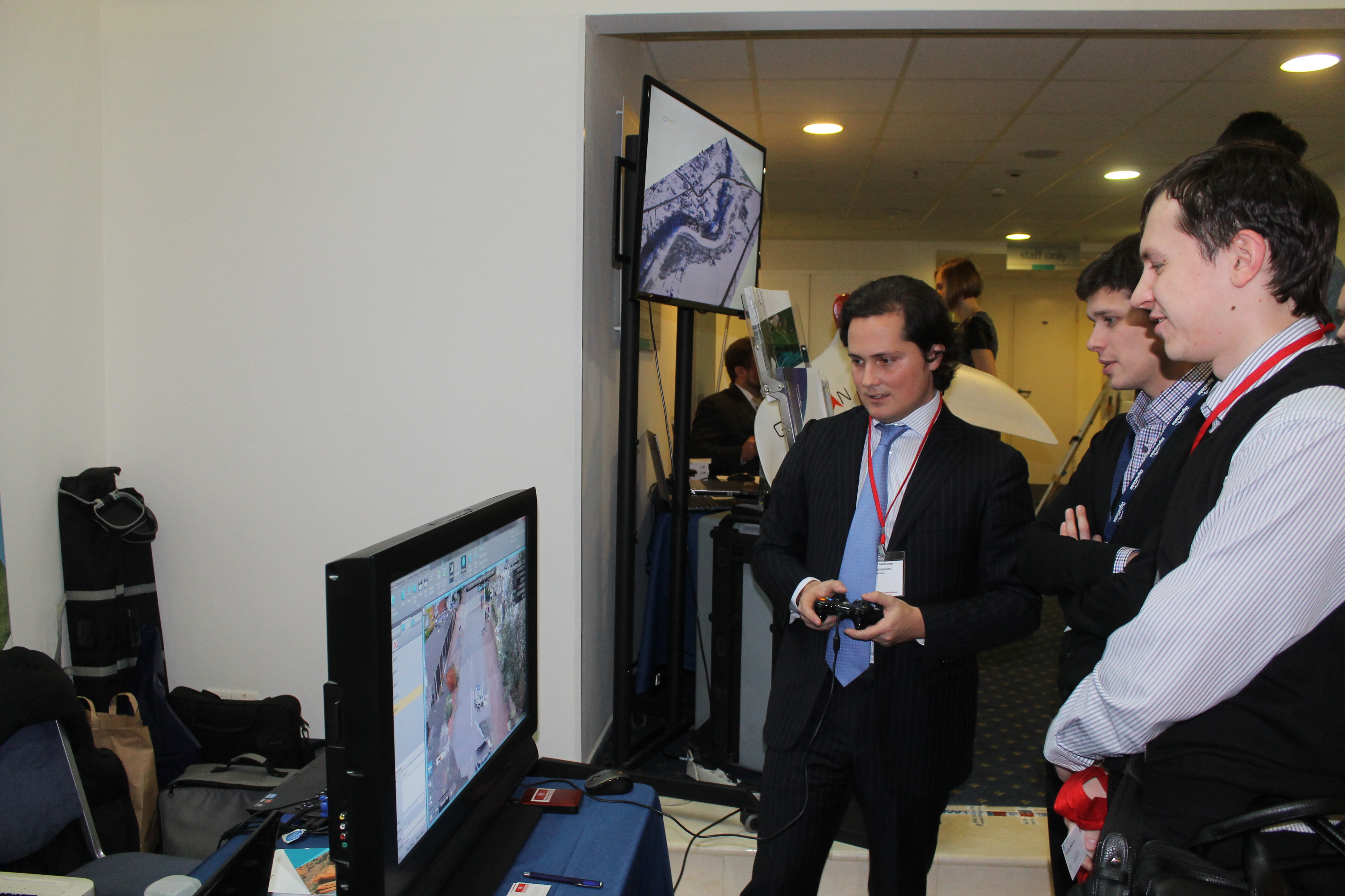
09.30 – 11.20 «Paris» hall – Section 5: UAV and their practical experience of use
Alexey Semenov, PLAZ (St. Petersburg) – Technology of topographical survey with UAVs “Geoscan”
Dmitriy Inozemtsev, PLAZ (St. Petersburg) – Practical Application of UAVs “Geoskan” in engineering surveys
Kirill Vasin, GPS COM (Moscow) – Results of the year: practical experience of use eBee (SenseFly)
Anatolii Okhotin, National research Irkutsk State Technical University (Irkutsk) – Experience of using UAVs in engineering survey
Nikita Zakharov, ZALA AERO GROUP (Izhevsk) – Advantages of UAV ZALA in solving problems of geodesy, cartography and surveying
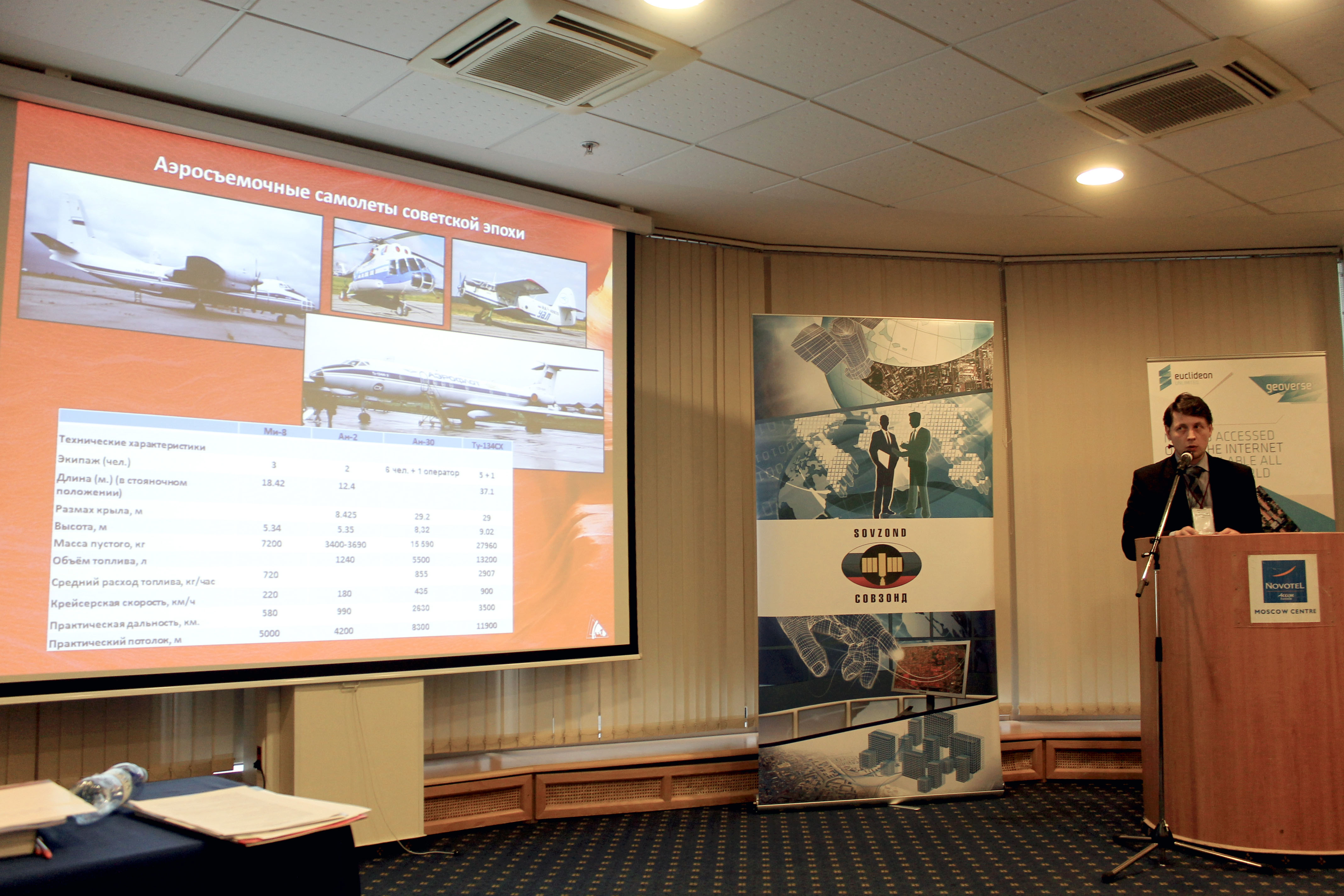
Sergey Kadnichanskiy, GosNIIAS (Moscow) – Comparative performance analysis of aerial survey using manned and unmanned aerial systems
11.20-11.30 The Lobby of «Paris» hall, Coffee-break
11.30-13.10 The «Paris» hall – Section 6: Terrestrial and mobile scanning technology
Vladimir Yashkin, Technokauf (Moscow) – Trimble Mobile mapping systems
Sergey Savrukhin, Jena Instrument (Moscow) – Geodetic surveying of linear pipelines Mobile with Optech Mobile Mapper M1
Christian Grimm, IGI (Germany) – Ingenieur-Gesellschaft fuer Interfaces (Germany) – IGI Systems for Aerial Survey & Mobile Mapping: RESULTS
Ivan Klimenok, NIPIStroyTEK (Moscow) – Advanced methods of topographical survey for designing, reconstruction and servicing roads
Maxim Altintsev, Siberian State Academy of Geodesy (Novosibirsk) – Features of joint mobile laser scanning data processing obtained in different time periods
13.10-14.00 lunch
14.00 – 16.00 «Paris» hall – Section 8: State-of-the-art technologies of geo-spatial data processing
Natalia Rubtsova, SOVZOND (Moscow) – INPHO 5.6.2. From space to UAVs
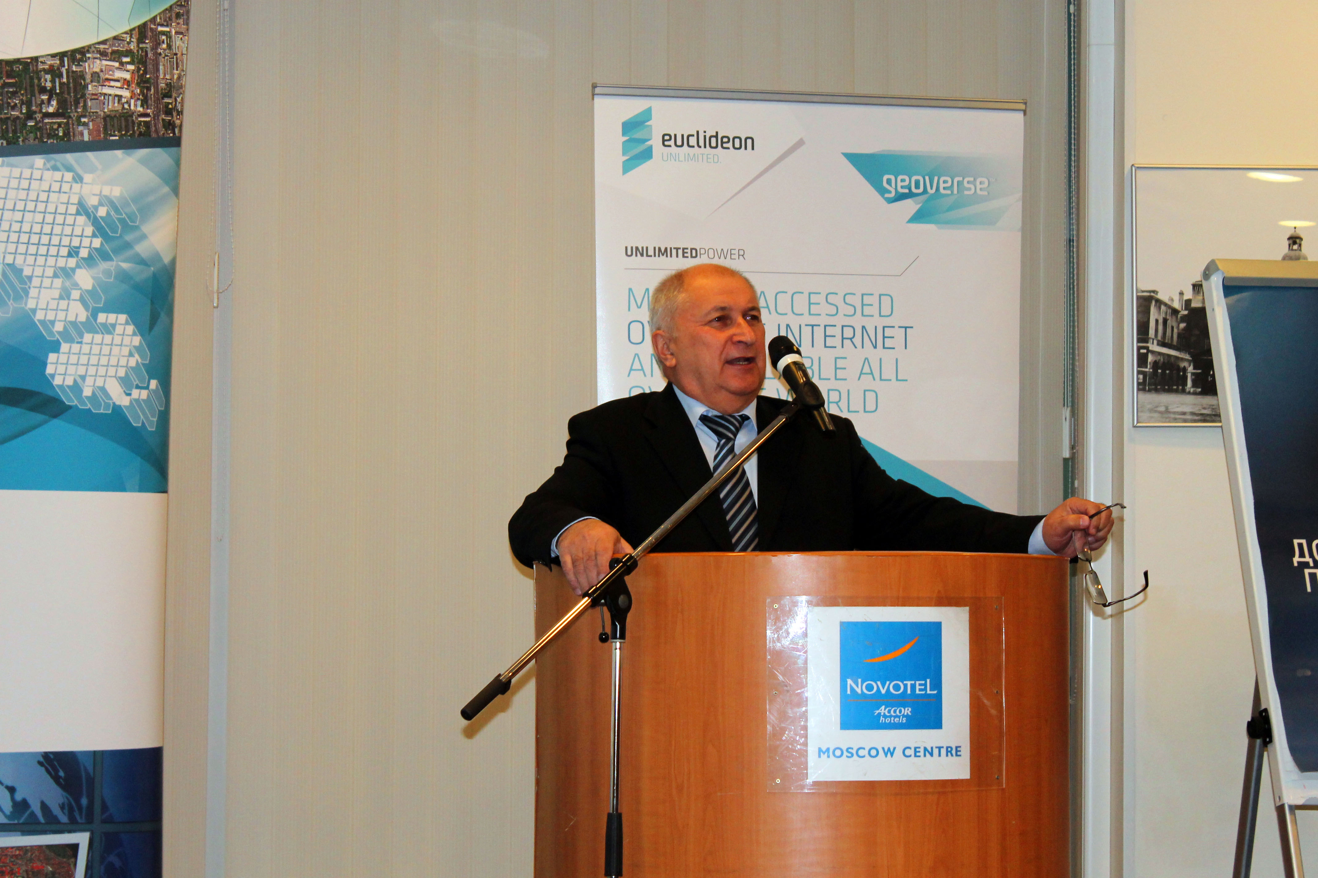
Philipp Meixner, MEIXNER IMAGING (Austria) – Euclideon In-Depth: How Geoverse is Changing the Geospatial Industry
Iryna Wetzel, Intergraph Security, Government & Infrastructure (SG&I) (Switzerland) – New release software Erdas & Intergraph version 2014
Andrey Sechin, Racurs Company (Moscow) – New Dense DSM Creation Algorithm in PHOTOMOD
Olga Moskovskaya, POINT (Moscow) – GeoSolution: geology in AutoCAD Civil 3D
16.00 – 16.20 Coffee-break
16.20 – 18.00 The «Paris» hall – Section 9: Current methods ERS and fields of their application
Elena Kravtsova, Innoter Geoinnovation Agency (Moscow) – The images received from space vehicles accuracy comparative study
Leon Rizzi, Digital Globe (USA) – High Resolution Satellite Imagery Solutions used in the Mining Industry
Yuri Kantemirov, Sovzond (Moscow) – Satellite SAR monitoring of ground and constructions displacements and deformations
Discussion of the bill “On geodesy, cartography and spatial data”
18.00 – 22:00 grand stand-up meal