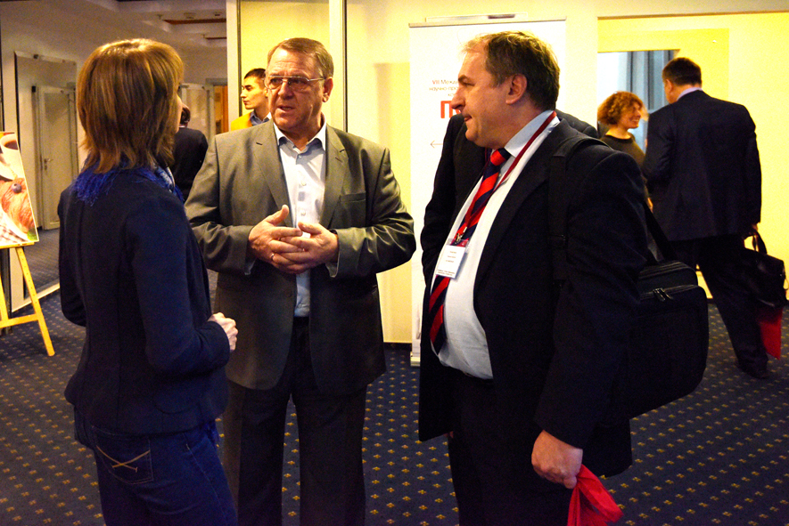
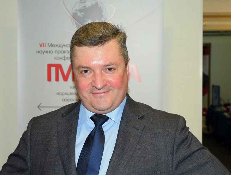
VII The Conference “Geodesy, Mine Survey and Aerial Photography. At the turn of the centuries”


The Program of the Conference 2016
“Geodesy, Mine Survey and Aerial Topography. At the turn of the centuries”
February 18
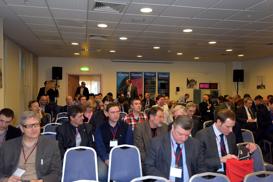
Plenary Session, Paris Hall
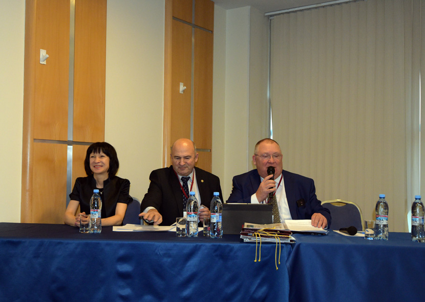
Grand opening and welcome words
10.10-10.30 Dmitry Krasnikov, Roskartography (Moscow) – Status of national surveying: problems, solutions and prospects of the industry
10.30-10.50 Valéry Filatov, Association of topographic service professionals – Current law on geodesy, cartography and spatial data
10.50-11.10 Mikhail Bolsunovsky, Sovzond (Moscow) – Current state and prospects of development of geographic information systems and space monitoring (download)
11.10-11.30 Anatolii Okhotin, Vice President of International Society for Mine Surveying (ISM), National research Irkutsk State Technical University – Experience of cooperation with mining enterprises in Siberia
11-30-11.45 Coffee-break, Lobby of Paris Hall
Section 1, Paris Hall
11.45-12.05 Sergey Kadnichansky, Center of geodesy and cartography (Moscow) – Substantiation of optimum digital aerial camera parameters (download)
12.05-12.25 Christian Grimm, IGI – Ingenieur-Gesellschaft fuer Interfaces (Germany) – DigiCAM Aerial Camera Systems (download)
12.25-12.45 Mikhail Petuhov, Navgeocom (Moscow) – HEXAGON remote sensing technology (download)
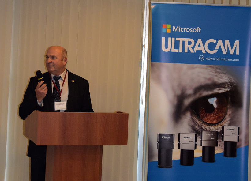
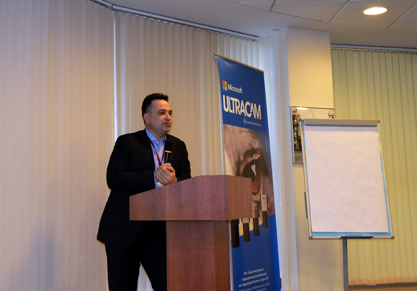
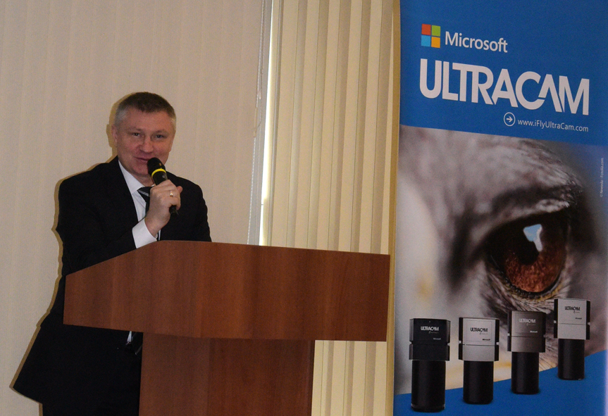
12.45-13.05 Engelbert Breg , Vexcel Imaging (Austria) – UltraCam and UltraMap – an Update (download)
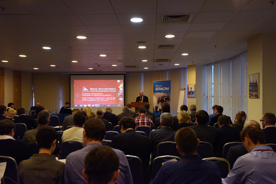
13.05-13.25 Mikhail Vjunov, Jena Instrument (Moscow) – Application of Vexcel UltraCam Eagle for forest inventory (by the example of the project in the national park “Vodlozersky”) (download)
13.25-13.45 Yuri Raizman, VisionMap (Israel) – A3 Edge for oblique images, dense DSM and 3D City models (download)
13.45-14.30 Lunch
Section 2, Paris Hall
14.30-14.50 Ilya Rylskiy, Sovzond (Moscow) – Laser scanning and remote sensing: competition or partnership (download)
14.50-15.10 Elena Brovko, Sergey Efimov, NIIP center “Nature”, S.Dubenskov, Central Research Institute Of Defense Ministry – Methods of certification of satellite imagery for creating cartographic products (download)
15.10-15.30 Alexander Kondrashina, Xenics (Moscow) – Shortwave infrared detectors for remote sensing (download)
15.30-15.50 Ilya Yudin, DigitalGlobe (USA) – Current possibilities and prospects of development DigitalGlobe’ s High Resolution constellation (download)
15.50-16.10 Denis Valkov, SPC “Universal technologies and developments” (Moscow) – The identification of archaeological sites on the basis of remote sensing data. Problems and possible solutions (download)
16.10-16.30 Andrey Mazurkiewicz, VNIIFTRI (Mendeleevo) – State primary special standard of unit of length in the range from 24 meters up to 4000 kilometers (download)
16.30-16.45 Coffee-break, Lobby of Paris Hal
Section 3, Paris Hall
16.45-17.05 Sergey Doroshenko, 3D Satellite Navigation, Boril Marinov, Fairway (St. Petersburg) – Joint information processing low precision inertial navigation systems with satellite compass (download)
17.05-17.25 Alexander Samohin, SATEL (Krasnodar) – SATEL Oy, PROVIDER OF PRIVATE MISSION-CRITICAL DATA CONNECTIVITY, Precision Farming! (download)
17.25-17.45 Jesus Ruiz, Applanix – Latest Developments on Applanix (download)
17.45-18.05 Nickolay Golygin, Moscow State University of Geodesy and Cartography – Metrological support of coordinate measuring devices (download)
18.05-18.25 Alexander Starostin, JSC NIIAS (Moscow) – The application of E. Lucas’ formula to calculate the length of a meridian
18.25-18.45 Victoria Shalamova, Roskartography, Nickolay Ustinov, Navgeocom (Moscow) – Development of cloud technologies and services of JSC ” Roskartography ” (download)
18.45-19.05 Daria Golub, VNIIFTRI (Mendeleevo) – State primary special standard of unit of length in the range from 24 meters up to 4000 kilometers (download)
19.05-19.25 Maxim Kaveshnikov, Moscow State University of Geodesy and Cartography – Experiment of innovative teaching within the “Data collection systems and presentation of geospatial data” (download)
Workshops, February 18, London Hall
15.00-16.30 Dmitry Grokholsky, Credo-Dialog – CREDO New technologies for processing laser scanning data (CREDO 3D SCAN). An integrated approach to the processing of survey data and the creation of engineering DTM (CREDO topography)
18.00-19.00 Roman Permyakov, Racurs (Moscow) – PHOTOMOD 6.0.2 – new possibilities
19.30 Gala Dinner
February 19
Section 4, Paris Hall
10.00-10.20 Stepan Rudnev, Geoscan (St. Petersburg) – Geoscan technologies for integrated cadastral works
10.20-10.40 Vladimir Kurkov, MIIGAiK Vadim Mikhalin, “Special Technology Center”, Aleksey Smirnov, Racurs (Moscow) – The investigation of precision triangulation with different methods of laboratory and field calibration (download)
10.40-11.00 Yuri Emelyanov, Technopol (Dubna) – Unmanned Aerial Systems UAVER (Taiwan)
11.00-11.20 Lyudmila Mitcevich, Unmanned Systems Company (Izhevsk) – Technology of using UAV’s aerial photography materials in solving industry problems (download)
11.20-11.40 Coffee-break, Lobby of Paris Hall
Section 5, Paris Hall
11.40-12.00 Philipp Meixner, MEIXNER IMAGING GMBH (Austria) – Future of Scanning – How Euclideon’s solutions are transforming the geospatial industry
12.00-12.20 Sergey Klimov, Jena Instrument (Moscow) – The technology for scan data processing in JRC 3D Reconstructor 3, by example of mining and architectural spheres. Features and treatment results (download)
12.20-12.40 Mikhail Stupko, GeoMax – Unified software environment MPS for complete provision of geodetic works in 3D (download)
12.40-13.00 Andrey Sechin, Racurs (Moscow) – Photogrammetry And Parallel Computing – Software and Hardware (download)
13.00-13.20 Pavel Skribtsov, Pawlin Technologies Ltd. (Moscow) – A fast method for detection of structured objects in the aerial survey data and scan the earth’s surface (download)
13.20 – 14.20 Lunch
Section 6, Paris Hall
14.20-14.40 Anna Alabieva, Technology 2000 (Yekaterinburg) – What is the terrain in the land registry
14.40-15.00 Vladimir Arkhipov, ForesrProject (St. Petersburg) – A new vector of a forest inventory development
15.00-15.20 Dmitry Kiselev, Transputstroy – Accuracy of positioning for clouds of laser points during high-precision mobile laser scanning (download)
15.20-15.40 Yuri Emelyanov, Technopol (Dubna) – Mobile mapping and GIS solutions for transportation networks asset management and monitoring from imaging company (France)
15.40-16.00 Dmitry Kukushkin, GEOSTROJIZYSKANIYA (Moscow) – Mobile Mapping System IP-S3 Topcon. Experience of use (download)
16.00-16.20 Coffee-break, Lobby of Paris Hall
Section 7, Paris Hall
16.20-16.40 Vsevolod Shulyakovskiy, ArtGeo (Moscow) – New RIEGL products (download)
16.40-17.00 Dmitry Stolyarenko, Geomatica (Moscow) – Mobile 3D Velodyne LiDARs and applications (download)
17.00-17.20 Evgeny Kalabin, ArtGeo (Moscow) – Introduction of lightweight hand-held laser-scanner ZEB1 produced by GeoSLAM (UK) (download)
17.20-17.40 Christian Grimm, IGI – Ingenieur-Gesellschaft fuer Interfaces (Germany) – IGI Systems for Aerial Survey & Mobile Mapping
17.40-18.00 Alexander Kozlov, Navgeocom (Moscow) – Scanning tacheometers in industry, mining, oil&gas and road construction
Workshops, February 19, London Hall
14.10-15.10 Kirill Vasin, GPS Com Company (Moscow) – UAV data processing in PostFly Terra 3D (Pix4D)
15.20-16.20 Denis Antoshkin, GISware Integro – UAV data processing in TerraSolid
16.30-18.00 Vasileia Apostolidou, Applanix – This workshop gives a detailed insight into POS Track and POS Pac
18.00 – Gala Dinner