IX The Conference “Geodesy, Mine Survey and Aerial Photography. At the turn of the centuries” !


The Program of the Conference 2018
“Geodesy, Mine Survey and Aerial Topography. At the turn of the centuries”
15 February 2018
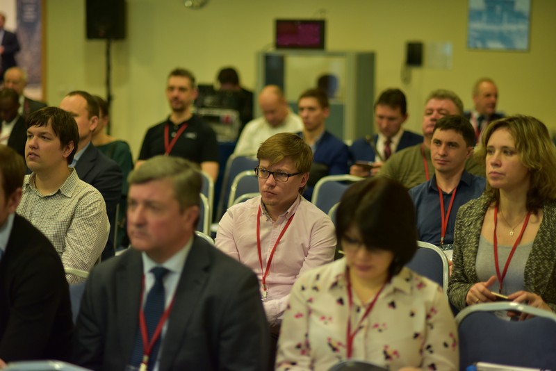
10.00-10.20 Grand opening and welcome words, Paris Hall
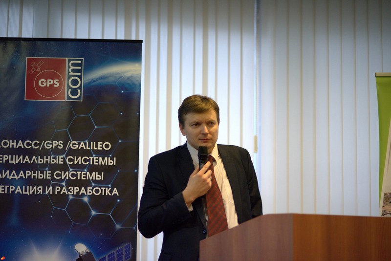
V.Savynikh (Moscow State University of Geodesy and Cartography), D.Krasnikov (Roscartography), G.Bozhchenko (GPS Com R&PC, Jena Instrument R&PC), V.Filatov (JCS Russian Space Systems), V.Umansky (JSC NIIAS, Research and Design Institute for Information Technology, Automation and Communication)
Plenary Session
10.20-10.40 V.Filatov, JCS Russian Space Systems – The current state of providing of the Earth’s territory with cartographic material. Analysis on the base of foreign sources of geospatial information for the period 2007 – 2016.
10.40-11.00 I.Spivak, PO Geopata, PJSC Rostelecom – Digital economy and import substitution in the sphere of geoinformation technologies
11.00-11.20 S.Varuschenko, Esti Map – GIS in Russia. Step forward, two steps back. What to do?
11.20-11.40 F.Ngendabakana, Geomatics Centralization Office of Burundi – System of coordination, management and use of sectoral geographic information in the Republic of Burundi
11.40-12.00 Coffee-break
12.00-12.20 M. Bolsunovsky, SOVZOND Company – Modern sources of spatial data – an integrated approach
12.20-12.40 E.Gershenzon, National Technological Initiative AeroNet – Spatial data – an integral part of Aeronet’s services
12.40-13.00 A.Borisenko, State Administration of Cadastral Valuation – The application of geospatial data for the conduct of state cadastral valuation of territory of St. Petersburg
13.00-13.20 A.Okhotin, International Society for Mine Surveying – Regional TIM Center on the basis of the Technical University – first experience and prospects
13.20-14.10 Lunch
Section 1
14.10-14.30 S.Kadnichanskiy, Federal scientific-technical center of geodesy, cartography and spatial data infrastructure – Digital mapping aerial camera – is it a measuring tool?
14.30-14.50 M.Petukhov, Hexagon Geosystems Rus – New LIDAR system Leica Terrain Mapper
14.50-15.10 Ch.Grimm, IGI – IGI UrbanMapper – Large format & oblique aerial camera solution, 2-in-1
15.10-15.30 P.Sсhichor, PhaseOne – Phase One aerial photography systems
15.30-15.50 K.Vasin, NPK Jena Instrument – Vexcel UltraCam –the sole solution for extremely possible opportunities
15.50-16.05 Coffee-break
16.05-15.25 V.Brusilo, Aerogeomatica – Topic to be confirmed
16.25-16.45 V.Shulyakovskiy, ArtGeo – Novelties of RIEGL air laser scanning equipment
16.45-17.05 I.Nizovtsev, SOMAG AG Jena – SOMAG AG Jena – gyro stabilization mounts
17.05-17.20 Coffee-break
Section 2
17.20-17.40 A. Mazurkevich, M. Khanzadyan, FGUP “VNIIFTRI” – Metrological support complex for azimut measurement equipment
17.40-18.00 D.Golub, FGUP “VNIIFTRI”- The improvement of the state primary special standard of unit of length of regarding laser standard of comparison and the reference baselines in the range of 24 to 3000 meters
18.00-18.20 N.Golygin, Moscow State University of Geodesy and Cartography – The system for metrological support of means for coordinate measurements of geometric parameters of products of complex shape in the range of lengths up to 50 meters
18.20-23.00 Gala Dinner
16 February 2018
Section 3
10.30-10.50 V.Vdovin, Russian Space Systems JSC– Current situation and prospects of development of satellite technologies for geodesy and mine surveying
10.50-11.10 E.Kalabin, ArtGeo – Laser scanning in real-time mode
11.10-11.30 Engelbert BREG, Vexcel Imaging GmbH – UltraCam Mustang and UltraCam Panther – Vexcel Imaging’s terrestrial systems
11.30-11.50 Ch.Grimm, IGI – IGI systems for aerial survey & mobile mapping
11.50-12.10 V.Nikonorov, Stroycontrol-2018 – Global navigation satellite system (GNSS) application for construction geodetic control at transport construction sites
12.10-12.30 M.Karavanov, Trimble Export Ltd – New PaaS-solutions Trimble for collection of high-precision data
12.30-12.50 R.Zagretdinov, Kazan (Privolzhsky) Federal University – Experience and problems of using of reference GNSS stations inf the Republic of Tatarstan and Volga Federal District
Workshops:
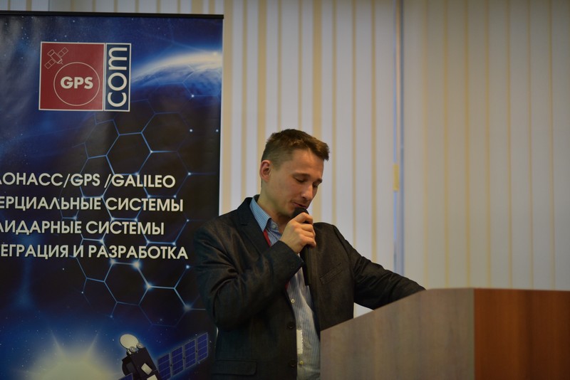
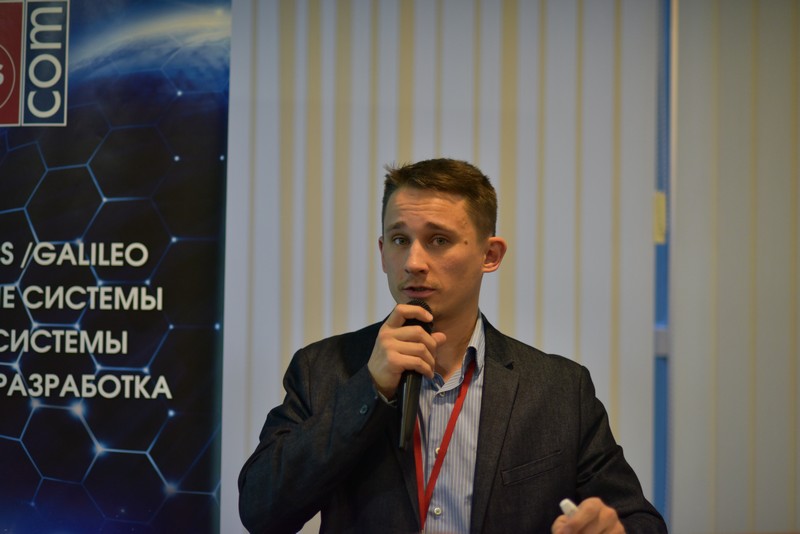
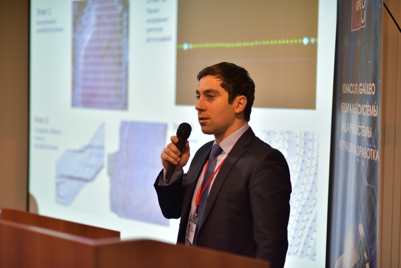
10.30-11.30 (London Hall) – M.Vjunov, NPK GPS Com – Creating not only photorealistic, but super high-precision models of buildings using both photogrammetric and LIDAR technologies
12.50-13.05 Coffee-break
Section 4
13.05-13.25 A.Sechin, Racurs – “Photogrammetry in the clouds” – generalization of experience of work on different cloud platforms
13.25-13.45 D.Haidukova, Uralgeoinform – Photogrammetric aspects of processing aerial photography of a million city
13.45-14.05 L.Lomako, Credo-Dialogue – Processing of surveys performed with a scanner or UAV
14.05-14.25 M.Alexandrov, Geo-Alliance – GEOMATICA 2017 – support the domestic manufacturer with modern software for working with geophysical data
14.25-14.45 D.Antoshkin, GISware Integro – Use of data on the shape of the reflected laser scanner signal withTerrasolid software
14.45-15.30 Lunch
Section 5
15.30-15.50 V.Sedelnikov, E.Brovko, S.Efimov., JSC “NIIP center “Nature» – Key research in the field of geodesy, cartography and spatial data integration in space activities
15.50-16.10 I.Yudin, DigitalGlobe – Unlocking geospatial value
16.10-16.30 V.Lavrov, Innoter – Use of DigitalGlobe data in geological projects of LLC “Innoter”
16.30-16.50 A.Peshkun, JCS Russian Space Systems – Topic to be confirmed
16.50-17.10 L.Minasyan, The Center for Ecological-Noosphere Studies NAS RA – Studying space and time changes in Armenia’s ecosystems using MODIS satellite imagery
17.10-17.25 Coffee-break
Section 6
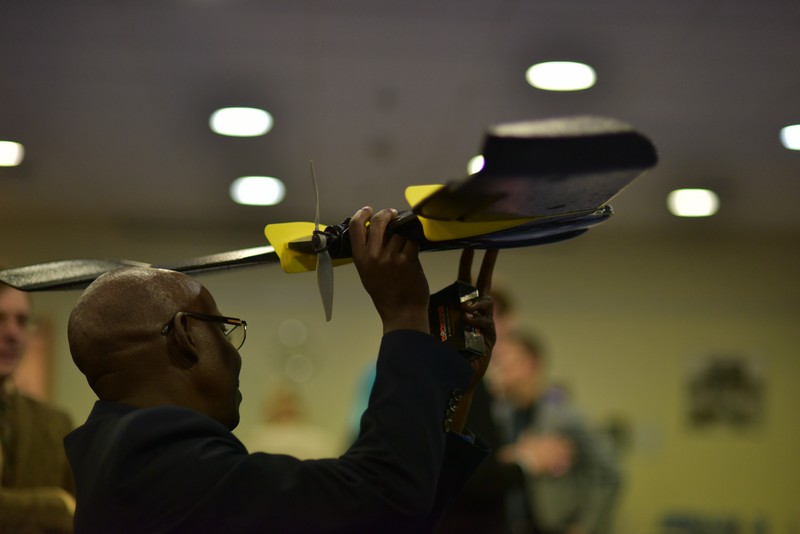
17.25-17.45 R.Leake, senseFly – Mapping the entire land mass of Zanzibar using senseFly drones
17.45-18.05 Samoilovskiy, Azottech – Geospatial data obtaining experience with the usage of unmanned aircraft complex Luftera LQ-4 and the precise ephemeris of the satellites
18.05-18.25 A.Semenov, GEOSCAN – Digital model of the Tula region: 6 000 000 pictures from UAV
18.25-18.45 M.Kaveshnikov, Moscow State University of Geodesy and Cartography – Information systems for sparsely populated territories
18.45-23.00 Gala Dinner