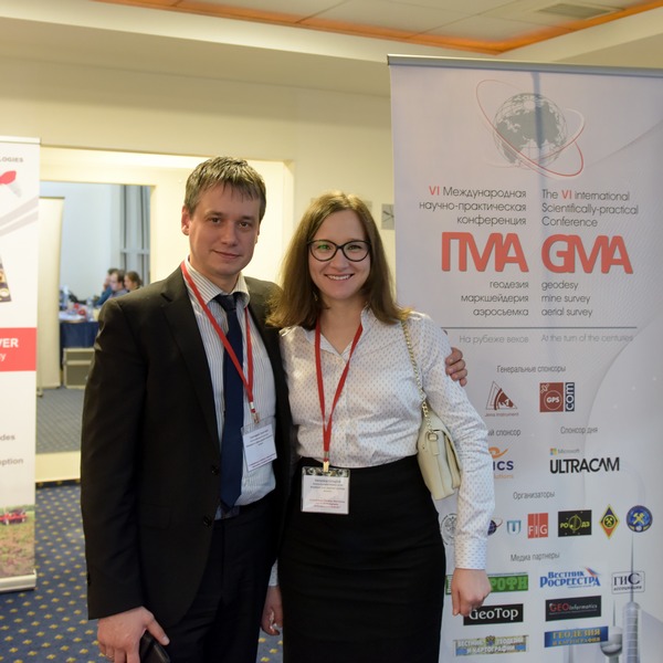
VI The Conference “Geodesy, Mine Survey and Aerial Photography. At the turn of the centuries”


The Program of the Conference 2015
“Geodesy, Mine Survey and Aerial Topography. At the turn of the centuries”
February 12
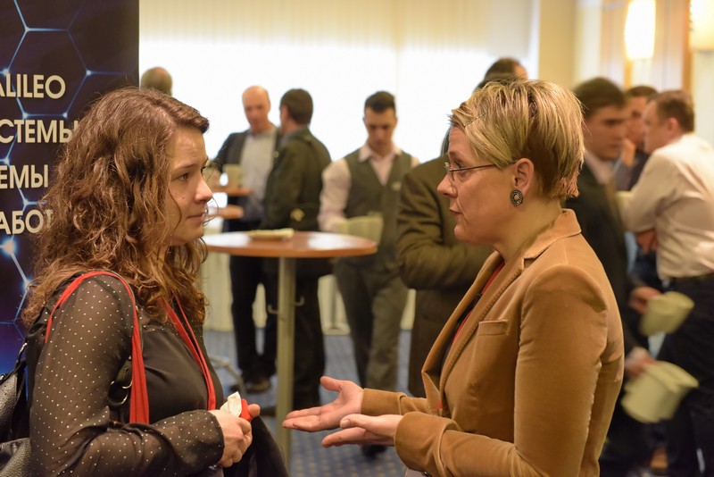
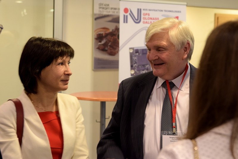
08:30 – 09:30 Lobby of «Paris» hall, Registration, Welcome coffee-break
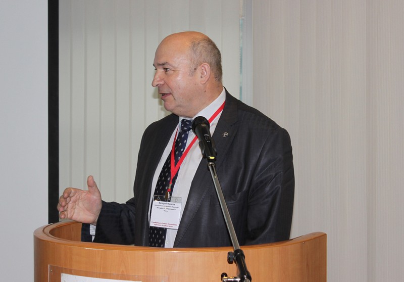
09:30 – 11.30 «Paris» hall – The official opening of the Conference and plenary meeting «GMA. At the turn of centuries»
Official representative of The Federal Service for State Registration, Cadastre and Cartography (Rosreestr),
Andrey Mayorov, Professor, chancellor of Moscow State University of Geodesy and Cartography,
Vladimir Seredovich, Professor, vice-chancellor for Innovations works of Siberian State Academy of Geodesy,
Valéry Filatov, Association of topographic service professionals
Anatolii Okhotin, Professor, A chief of mine surveying and geodesy chair, National research Irkutsk State Technical University,
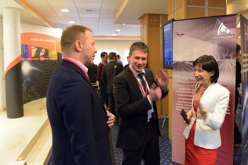
Galina Bozhchenko, Jena Instrument Company, Director General,
9.40-10.00 Dmitry Krasnikov, Roskartography (Moscow) – Status of national surveying: problems, solutions and prospects of the industry
10.00-10.20 Valéry Filatov, Association of topographic service professionals (Moscow) – The current state of geodetic and cartographic support for the Russian Federation and prospects of its development
10.20-10.40 Sergey Miller, GIS-Association (Moscow) – Current situation on the Russian geodesic market
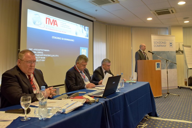
10.40-11.00 Mikhail Bolsunovsky, Sovzond (Moscow) – Current state and prospects of development of geographic information systems and space monitoring
11.00-11.20 Ural Samratov, AGP “Meridian+” (Moscow), Danabek Tazhedinov, RSE “Scientific and Production Center of Land Cadastre” (Kazakhstan) – The concept of modernization of the geodetic control net on the territory of the Republic of Kazakhstan
11.20 – 11.30 Lobby of «Paris» hall, Coffee-break
11.30 – 13.50 «Paris» hall – Section 1: Airborne laser scanning and digital aerial photography
11.30-11.50 Dmitry Ruppel, KB Vita (Moscow) – Optoelectronic image sensors for aerial mapping and UAV’s navigation. The concept of aerial small and medium size cameras development
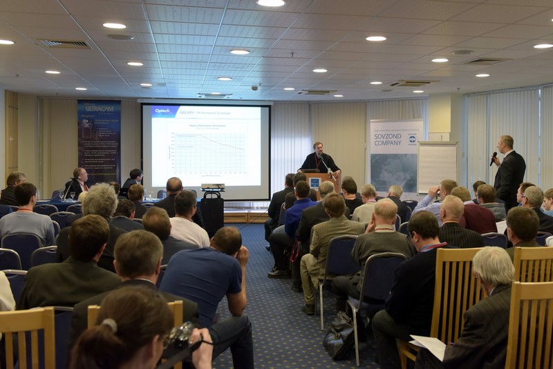
11.50-12.10 Michael Zarzeczny, Optech Inc (Canada) – New ALTM Galaxy Powered by PulseTRAK™ and ALTM Titan Multi-Wavelength Lidar System for 3D Land Classification & Coastal Bathymetry
12.10-12.30 Yuri Raizman, VisionMap (Israel) – Urban Mapping with A3 Edge
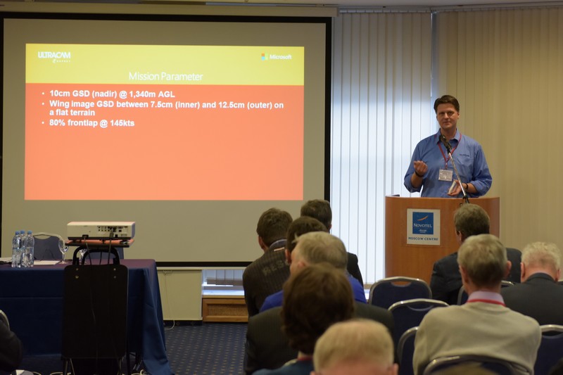
12.30-12.50 Alexander Wiechert, Vexcel Imaging GmbH (Austria) – UltraCam and UltraMap – an Update
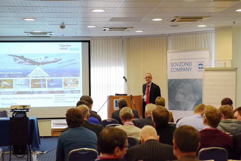
12.50-13.10 Marc Duchesne, RUAG Aviation (Switzerland) – Pilatus PC-12 Aerial Surveying: Innovative and Versatile platform for imaging, LIDAR and Photogrammetry equipment
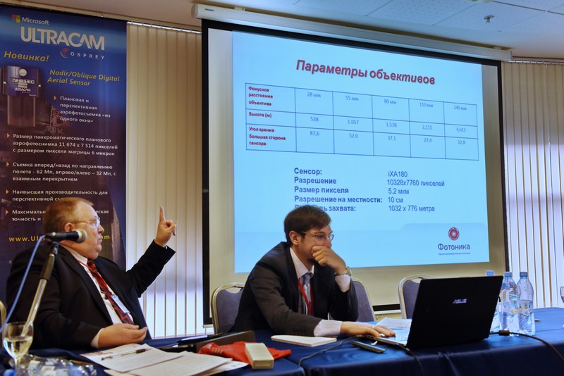
13.10-13.30 Alexey Syachin, NPK Fotonika (St.-Petersburg) – Phase One Medium Format Aerial Cameras and Their Use with Manned and Unmanned Aerial Vehicles
13.30-13.50 Alexander Kondrashina, Patrick Merken, Jan Vermeiren, Xenics LLC (Belgium) – Multi-spectral and hyperspectral imaging in the SWIR range
13.50-14.30 Lunch
14.30 – 16.30 «Paris» hall – Section 2: Current methods ERS and fields of their application
14.30-14.50 Alexander Zharov, GIA “Innoter” (Moscow) – Comparative evaluation of Resurs-P and EO-1 hyperspectral data
14.50-15.10 Alexander Vasikeyskiy, JSC NIIAS (Moscow) – Methodology for monitoring of potentially dangerous effects on rail infrastructure in the area of Tuapse-Adler using satellite data
15.10-15.30 Yaroslav Vasunin, GIA “Innoter” (Moscow) – Updating of forest management materials on the base of remote sensing data (as exemplified by, NP “Buzuluk pine wood”)
15.30-15.50 Vyacheslav Lobzenev, Innovative Centre (Moscow) – Russian spacecrafts remote sensing data formation and processing methods
15.50-16.10 Vasily Lobanov, GIA “Innoter” (Moscow) – Complex analysis of geospatial information for the detection of oil spills in the aquatory of the Absheron Peninsula
16.10-16.30 Andrey Danelyan, International space technology (Belarus) – Joint Russian-Belarusian company “International space technology” – a new form of cooperation between the two countries in the field of applied astronautics
16.30 – 16.40 Lobby of «Paris» hall, Coffee-break
16.40-18.15 «Paris» hall – Section 3: Practical applications of modern survey technologies
16.40-17.00 Maxim Skornyakov MosGipriTrans (Moscow) – Examples of the use of mapping system Orion M300
17.00-17.15 Anna Alabieva, Technology 2000 (Yekaterinburg) – Large problems of mapping by small productive examples
17.15-17.35 Ivan Mahinenko, NIPIStroyTEK (Moscow) – The options of using airborne laser scanning and aerial photography in engineering surveys
17.35-17.55 Vladimir Brusilo, Aerogeomatica (Krasnodar) – Laser scanning for the road sector – experience
17.55-18.15 Pavel Molchanov, Sigma Metrix (Moscow) – Experience in the use of complex aerial geospatial technologies to create models
18.15 – 18.25 Lobby of «Paris» hall, Coffee-break
18.25 – 20.00 «Paris» hall – Section 4: News of navigation equipment market and practical use
18.25-18.45 Mikhail Petrov,GEOSTROJIZYSKANIYA (Moscow) – The Topcon technologies for the solution of tasks in geodesy and mine survey
18.45-19.05 Nickolay Golygin, Moscow State University of Geodesy and Cartography – Surveyor’s pole with bar-code and two anvils
19.05-19.20 Darya Golub, All-Russian Research Institute of physicotechnical and radiotechnical measurements (VNIIFTRI) (Mendeleevo) – Features of metrological assurance of the laser coordinate measuring systems
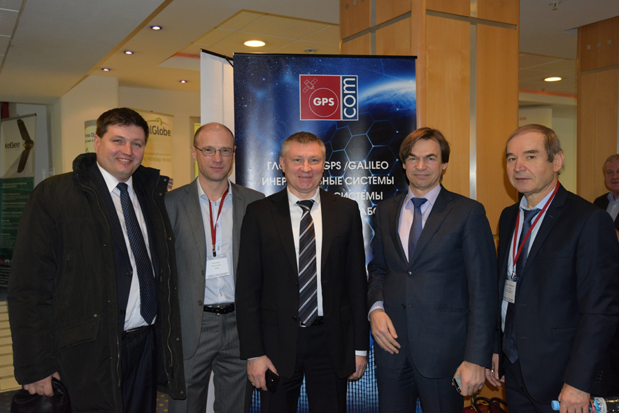
19.20-19.35 Sergey Savrukhin, GPS COM (Moscow) – Results of testing the new service of NovAtel Company
19.35-19.55 Sergey Tikhomirov, Navigation Technology (Moscow) – Post-processing and RTK on receivers of series NV08C
15.00 – 20.00 The «London» hall – Section 5: Workshops
15.30-16.00 Maxim Kaveshnikov, Moscow State University of Geodesy and Cartography – Features of the cloud approach at GNSS trainings
16.00-16.50 Kirill Vasin, Jena Instrument (Moscow) – UltraMap in work – demonstration
16.50-17.50 Denis Antoshkin, GISware Integro (Moscow) – Topic will be specified
17.50-18.00 Lobby of «Paris» hall, Coffee-break
18.00-19.00 Maxim Alexandrov, Geo-Alliance (Moscow) – Geomatica 2014 и GeoImaging Accelerator (GXL) – advanced technology and rapid automatic processing of aerial photographs and satellite images
19.00-20.00 Roman Permyakov, Racurs (Moscow) – PHOTOMOD 6.0 – New capabilities and increase of processing speed
20.00 – 23:00 grand stand-up meal restaurant
February 13
08:30 – 09:30 a.m. Lobby of «Paris» hall, Registration, Welcome Coffee-break
09.30 – 12.05 «Paris» hall – Section 6: UAV and their practical experience of use
09.30-09.45 Alexey Smirnov, Racurs (Moscow) – Russian UAV review
09.45-10.05 Victor Maslyanko, Talka-GEO (Moscow) – Practical application of Geoscan technology on ‘SUEK’ objects
10.05-10.25 Vadim Mikhalin, Special Technology Center (St. Petersburg) – The use of drones “Orlan” family for aerial survey
10.25-10.45 Olga Klisho, Geoscan (St. Petersburg) – Practical application of Geoscan technology for creating 3D–models of cities and infrastructure facilities
10.45-11.05 Amir Valiev, AFM-Servers – Unmanned aircraft systems for civil applications. Economic efficiency
11.05-11.25 Mikhail Vyunov, GPS Com R&PC (Moscow) – Thematic analysis of multispectral data of UAV eBee AG: possibilities and results of processing
11.25 -11.45 Natalia Rubtsova, Sovzond (Moscow) – UASMASTER 6.0.1. – TRIMBLE INPHO solition for UAV
11.45-12.05 Sergey Efimov, Elena Brovko, Alexander Altinov, NIIP center “Nature”– Improvement of the system of certification of technologies for creating and updating digital cartographic products according to ERS, including the use of unmanned aerial vehicles
12.05 – 12.15 The Lobby of «Paris» hall, Coffee-break
12.15 – 14.35 The «Paris» hall – Section 7: Terrestrial and mobile scanning technology
12.15-12.35 Dmity Kukushkin, GEOSTROJIZYSKANIYA (Moscow) – The advantages of using mobile scanning systems Topcon compared with traditional methods
12.35-12.55 Sergey Savrukhin, Jena Instrument (Moscow) – The combined use of mobile laser scanning and aerial photography on the example of survey for the Novgorod Kremlin
12.55-13.15 Christian Grimm, IGI (Germany) – IGI Systems for Aerial Survey & Mobile Mapping
13.15-13.35 Anatolii Okhotin, Semen Gridnev, National research Irkutsk State Technical University (Irkutsk) – Landmark-connection survey with the use of laser scanners
13.35-13.55 Arkady Mishin, Optech (Canada) – Speeding up Open-Pit Mine Surveys with Terrestrial Lidar and UAV Photogrammetry
13.55-14.15 Maxim Altintsev, Siberian State Academy of Geodesy (Novosibirsk) – Application of mobile laser scanning for determination of geometric parameters of M-53 road area in Novosibirsk region
14.15- 14.35 Mikhail Stupko, GeoMax – Providing of geodetic works with Geomax ground sensors of middle price segment
14.35 – 15.20 Lunch
15.50 – 19.10 The «Paris» hall – Section 8: State-of-the-art technologies of geo-spatial data processing
15.20-15.40 Andrey Sechin, Racurs (Moscow) – PHOTOMOD 6.0 and Dense DSM Generation Algorithm
16.40-16.00 Sergey Makarov, EstiMap (Moscow) – Working with GIS MapInfo Data on the Android platform
16.00-16.20 Anatolii Okhotin, National research Irkutsk State Technical University (Irkutsk) – Providing BIM technology with geospatial information
16.20-16.40 Iryna Wetzel, HEXAGON GEOSPATIAL (Switzerland) – Hexagon Geospatial: ERDAS & Intergraph technology in 2015 vers
16.40-17.00 Christian Grimm, IGI (Germany) – IGImatch – Dense Matching Software
17.10-17.20 Grigory Stepanov, Easy Trace Group (Ryazan) – Easy Trace Pro: an universal vectorizer-editor of cartographic data. Vicennial results
17.20-17.40 Arcady Kalinin, Kredo-Dialogue (Moscow) – Modern automated technologies for geodetic survey data processing
17.40-18.00 Dmitry Degtyrev, GEO (Kaluga) – Cartographic & geodetic software package “Terra”
18.00-18.20 Natalia Rubtsova, Sovzond (Moscow) – Automatic DEM extraction – myth or reality? TRIMBLE INPHO approach
18.20-18.40 Ekaterina Karpenko, Innovative Center (Moscow) – Technology of automated satellite data processing and complex analysis
18.40-19.00 Elizaveta Hazieva, Sigma Metrix (Moscow) – Experience of ERDAS Apollo software using to create a system of management system and system of spatial data in Sigma Metrix Company
19.00 – 23:00 grand stand-up meal