XI International Scientifically-Practical Conference “Geodesy, Mine Survey and Aerial Topography”


February 14, 2019 |
|
| 08:30 – 09:00 | “Welcome” coffee break. |
| 09:00 – 10:00 | Registration of Participants. |
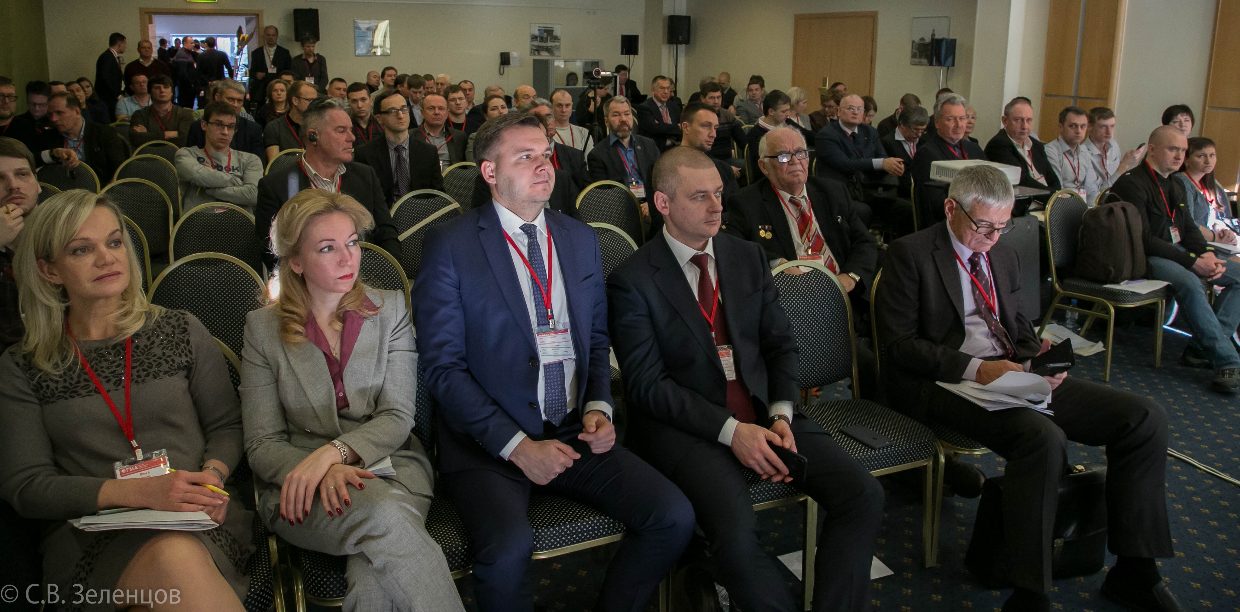
| Grand Opening.
Plenary Meeting. |
|
| 10:00 – 10:10 | Vyacheslav Spirenkov, Federal Service Of State Registration Cadaster And Cartography. |
| 10:10 – 10:20 | Krasnikov Dmitriy, Roscartography JSC. |
| 10:20 – 10:30 | Denis Dudnikov, Federal Service Of State Registration Cadaster And Cartography. |
| 10:30 – 10:40 | Alexander Rebriy, Centre for Geodesy and Cartography – Federal Fund of Spatial Data: Digital Development Outlook. |
| 10:40 – 10:50 | Vicktor Nepoklonov, Professor MSUGC. |
| 10:50 – 11:00 | Valeriy Filatov, JSC Russian Space Systems – History of Space Exploration In Terms of Space Geology Solutions Using Space Geodetic Systems with Air-Borne Altimetry and Gravity and Gradient Measuring Apparatus. |
| 11:00 – 11:15 | Anatoliy Okhotin President, ISM (International Society of Mine Surveying) – ISM Congress, Russia, Irkutsk, 2019. |
| 11:15 – 11:30 | Fiodor Shkurov, Director Advisor, Candidate of Technical Sciences, Centre for Geodesy and Cartography – Development Opportunities under Digital Economy. |
| 11:30 – 11:50 | Coffee Break |
| 11:50 – 12:05 | Vladimir Gershenson, NTI AERONET – NTI AERONET Aerial and Satellite Survey Projects. |
| 12:05 – 12:20 | Sergey Varushenko, GK ESTI – Russian GIS Platform – Aksioma.GIS, Aksioma.Web, Aksioma.Server. |
| 12:20 – 12:35 | Mikhail Bolsunovskiy, Sovzond – Current State and Prospects of Aerial and Satellite Survey. |
| 12:35 – 12:55 | Vyacheslav Fateev, Director, Centre 82 NIO-8, Doctor of Engineering, Professor, RF Honored Scientist, VNIIFTRI – Relativistic Geodesy and its Practical Applications. |
| 12:55 – 13:10 | Alexander Serebryakov, ANO VO Universitet Innopolis – 3D Digital Twin of a Field Territory and Utility Infrastructure Based on Aerial Survey and Scanning Data. |
| 13:10 – 14:00 | Lunch. |
Section 1 |
|
| 14:00 – 14:20 | Andrey Mazurkevich, Darya Golub, VNIIFTRI – Updated Statutory Check Circuit for Coordinate and Temporal Measuring Instruments. |
| 14:20 – 14:40 | Ruslan Kisilev, NekstGIS – GIS Platform, Geo-Data and Services by NekstGIS for Effective Performance. |
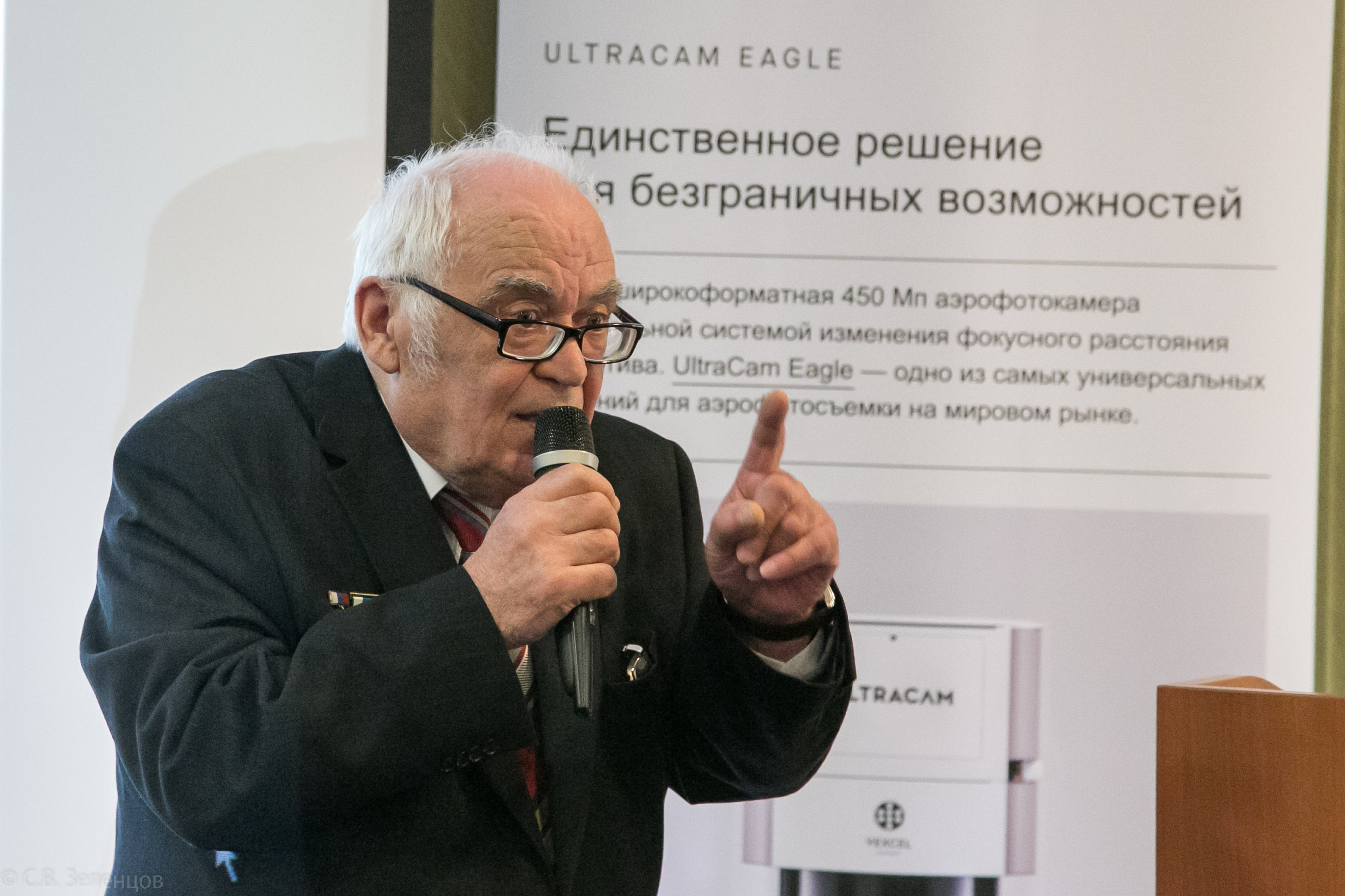
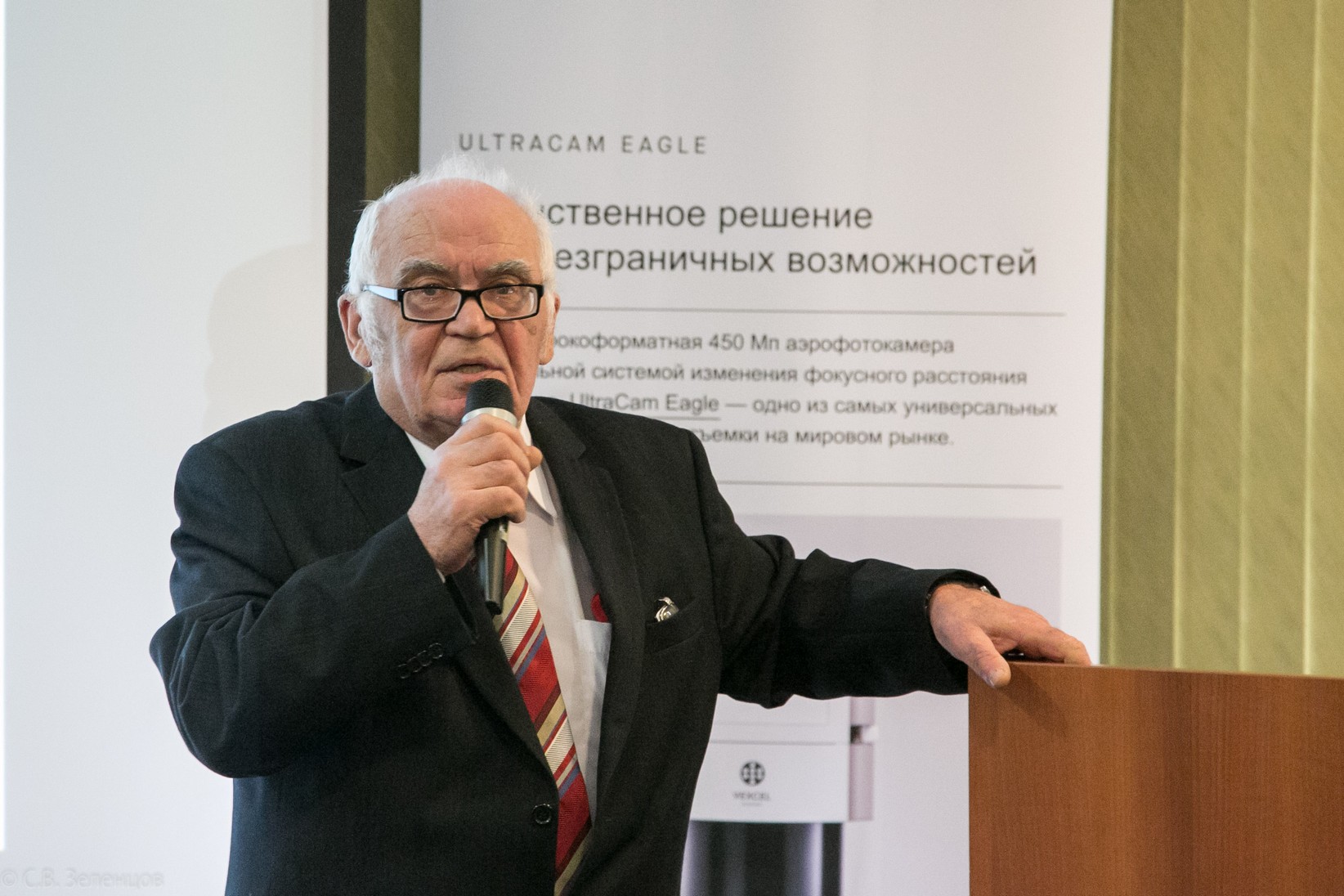
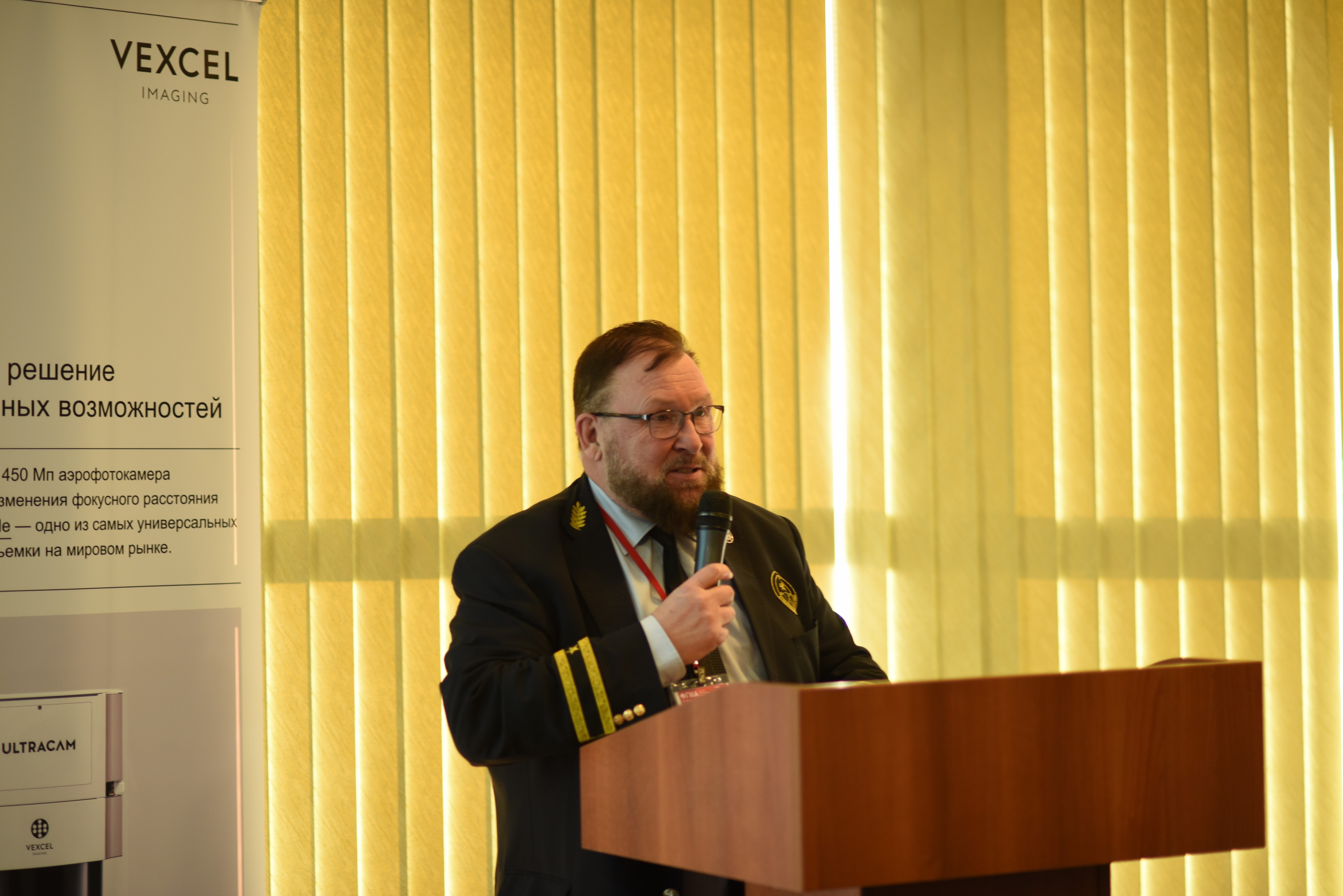
| 14:40 – 15:00 | Alexander Wiechert, Vexcel Imaging GmbH – Vexcel Imaging Updated Product Line. |
| 15:00 – 15:30 | Christian Grimm, IGI, Germany – IGI UrbanMapper-2: 2nd Generation Large Format Camera for Nadir and Oblique Aerial Survey. Christian Grimm, IGI, Germany – Special Application IGI Systems. |
| 15:30 – 15:50 | Ivan Emelyanov, NPK Photonika, Saint Petersburg – PHASE ONE Aerial Survey Cameras and Systems. |
| 15:50 – 16:05 | Nina Moiseeva, SKANEKS LLC, Moscow – Space Imagery for Land Condition and Use Monitoring. |
| 15:55 – 16:05 | Coffee Break. |
| 16:05 – 16:25 | Vsevolod Shulyakovskiy, ArtGeo – UAV Laser Scanning. Key Benefits of RIEGL scanners. |
| 16:25 – 16:45 | Fabrizio Tadina, Teledyne Optech Inc. – Improved Airborne and Mobile LIDARs for High-Precision 3-D Mapping. |
| 16:45 – 17:05 | Ivan Nizovtzev, SOMAG AG Jena – SOMAG AG Jena – Gyro Stabilization Mounts – a winning solution for cost effective data acquisition. |
| 17:05 – 17:20 | Coffee Break. |
Section 2 |
|
| 17:20 – 17:40 | Vladimir Seredovich, CEO, Centre for Laser Scanning in Construction; Council Chairman, Novosibirsk Regional Association of Construction Companies; Candidate of Technical Sciences, Professor, NGASU (Sibstrin) – Importance of Up-to-Date Geo-Spatial Measurements for Improved Design, Construction and Operation of Engineering Structures. |
| 17:40 – 18:00 | Ivan Gnevanov, GIT JSC MOBILE – ALOS-2 Remote Sensing Data and Other Products for Mine Surveying and Geodesy. |
| 18:00 – 18:20 | Alexander Borisenko, Municipal Cadastre Valuation Department, Saint Petersburg – Use of GIS Technologies for Cadastre Valuation in Saint Petersburg. |
| 18:20 – 18:40 | Ivan Kukarenko, KREDO-DIALOG – Laser Scanning Data Processing Technology in the KREDO Software Product Range. |
| 18:40 – 19:00 | Ilya Yudin, DigitalGlobe – EarthWhatch. Easy Access to Global Archive. |
| 19:00 – 23:00 | Gala Dinner and networking. |
February 15, 2019 |
|
Section 3 |
|
| 10:00 – 10:30 | “Welcome” coffee break. |
| 10:30 – 10:45 | Vladimir Vdovin, Vitaliy Sernov, JSC Russian Space Systems – Primary Objectives and Results of Developing Satellite Positioning Technologies Based on Augmentation and Monitoring Systems. |
| 10:45 – 11:00 | Andrey Fursov, Alexey Zaichikov, Russian Space Systems – Determination of High Precision Movement Parameters of a Low Orbit Space Vehicle from Changes of Onboard GLONASS Receiver. Technology and Results. |
| 11:00 – 11:15 | Irina Anikeeva, Geodesy and Cartography Centre – Comparative Analysis of Space Imagery obtained by CANOPUS-B and AIST-2D Space Vehicles. |
| 11:15 – 11:30 | Pavel Khodakov, Geodesy and Cartography Centre – Status of Russia’s Levelling Network. |
| 11:30 – 11:45 | Vassily Andreev, Atomenergoprojekt – Evaluation of Local Geodynamic Parameters by Geodatic Techniques. |
| 11:45 – 12:00 | Renat Zagretdinov, Kazan (Volga) Deferal University – Application of Multisystem GNSS Technologies in Geodesy, Geodynamics and Mine Surveying. |
| 12:00 – 12:15 | Michail Karavanov, Trimble Export Ltd – TRIMBLE’s New Solutions and Technologies. |
| 12:15 – 12:25 | Eugene Plyusnin, GPS Com – Software Systems for Trajectory GNSS/INS Measurements: Their Capabilities and Differences. Selection of an Optimal Software System to Meet Your Objectives. |
| 12:25 – 12:40 | Artyom Samoylovskiy, AZOTTEKH – Application of LUFTERA Systems for Precise Geospatial Data Acquisition. |
| 12:40 – 12:50 | Dmitry Khegay, IT, Mechanics and Optics University (ITMO) – ITMO Competences in High Precision Positioning. |
| 12:50 – 13:00 | Sergey Sorokin, Director, NPK IGS – GNSS Ground Infrastructure Today. What Comes Next? |
| 13:00 – 13:05 | Coffee Break. |
Trainings and workshops |
|
| 10:30 – 11:30 | (Conference Hall “London”) – Gabriele Ruggiero, Pix4D, Switzerland – Pix4D Application in Mineral Resources Extraction, Volume Calculation and Use of Cloud Services. Creation of 3D Models Using Smartphone Video Material. |
| 11:45 – 14:20 | (Conference Hall “London”) – Roman Demidenko, Panorama Design Bureau – Application of PANORAMA’s GIS Technologies for Geoportal Creation. |
| 15:30 – 16:45 | (Conference Hall “London”) – Elena Shabalina, Geoscan – Use of Agisoft Photo Scan (Agisoft Metashape) for Photogrammetric Processing of Aerial Imagery Obtained by Geoscan Hardware and Software System to Determine Border Point Coordinates and Contours of Real Estate Items for All Land Categories. |
| 16:45 – 17:30 | (Conference Hall “London”) – Denis Antoshkin, GISver Integro – New Functionalities of TERRASOLID Software. Processing of Laser Vegetation Imagery. |
| 17:30 – 18:00 | (Conference Hall “London”) – Andrey Lyutikov, Agriculture Systems Studio – Processing of eBee Plus RTL Data Using Pix4Dmapper and Quantum GIS For Hydrological Analysis of Rice Bays. |
| 18:00 – 18:30 | (Conference Hall “London”) – Vyacheslav Avakyan, Professor, MSUGC, Candidate of Technical Sciences – Publication: “Applied Geodesy: Engineering and Geodetic Survey and Topographic Mapping” by V.V. Avakyan and Yu. A. Stepanova. |
Section 4 |
|
| 13:05 – 13:25 | Gabriele Ruggiero, Pix4D, Switzerland – Pix4D: Photogrammetry and Monitoring. Shared Work with Project Data. |
| 13:25 – 13:45 | Andrey Sechin, RAKURS – PHOTOMOD Photogrammetric System – New Capabilities. |
| 13:45 – 14:05 | Ekaterina Demko, Sergey Kadnichanskiy, Geoscan – Airborne Surveying of Real Estate Contours and Boundaries Using UAV. |
| 14:05 – 14:25 | Alexey Lebedev, ArtGeo – SLAM’s Latest Product: ZEB-HORISON Scanner. |
| 14:25 – 14:45 | Mirakhmad Aliakbarov, senseFly, Switzerland – 2019: senseFly eBee X. |
| 14:45 – 15:30 | Lunch. |
Section 5 |
|
| 15:30 – 15:50 | E.A. Brovko, Research and Production Centre “Priroda” – Existing and Emerging Approaches to Spatial Data Update Using Space Survey and Satellite Navigation Materials. |
| 15:50 – 16:10 | Sergey Kadnichanskiy, Geoscan – Statutory Regulation of Airborne Surveying Technologies for Spatial Data Provision to Meet National Economy Objectives. |
| 16:10 – 16:30 | Nikolai Babashkin, Sergey Nekhin, Sergey Kadnichanskiy, Geodesy and Cartography Centre – Legal and Technical Regulation Priorities in the Field of Spatial Data. |
| 16:30 – 16:50 | Andrey Zheleznyakov, Design Bureau Panorama – Computer-Based Maintenance of Digital Map and Remote Sensing Data Bases. |
| 16:50 – 17:10 | Vladimir Seredovich, Director, Centre for Laser Scanning in Construction; Council Chairman, Novosibirsk Regional Association of Construction Companies; Candidate of Technical Sciences, Professor, NGASU (Sibstrin). |
| 17:10 – 17:25 | Coffee Break. |
Section 6 |
|
| 17:25 – 17:45 | Nikolai Golygin, Chief Metrologists, Candidate of Technical Sciences, Associate Professor, MIIGAiK – Calibration System for Mobile Coordinate Electrooptical Measuring Instruments. |
| 17:45 – 18:05 | A. V. Deykun, S. A. Kazachenkov, VNIIFTRI – Special Aspects of Calibration of Geodetic Phase EDMs as First Echelon Length Standards. |
| 18:05 – 18:20 | Alexander Prokhvostov, NAO Maxima – Effective Application of GeoMax Equipment for Geodesy and Mine Surveying. |
| 18:20 – 18:35 | M. B. Kaveshnikov, MIIGAiK – Systemic Approach to Reverse Engineering of Software Products for Vector Data Processing. |
| 18:35 – 23:00 | Closing Dinner. |