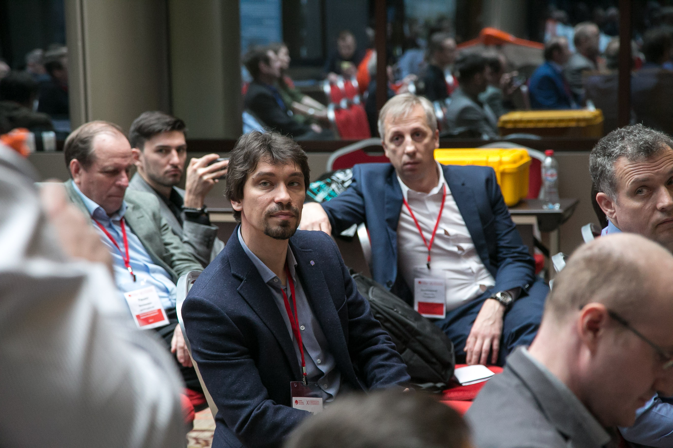
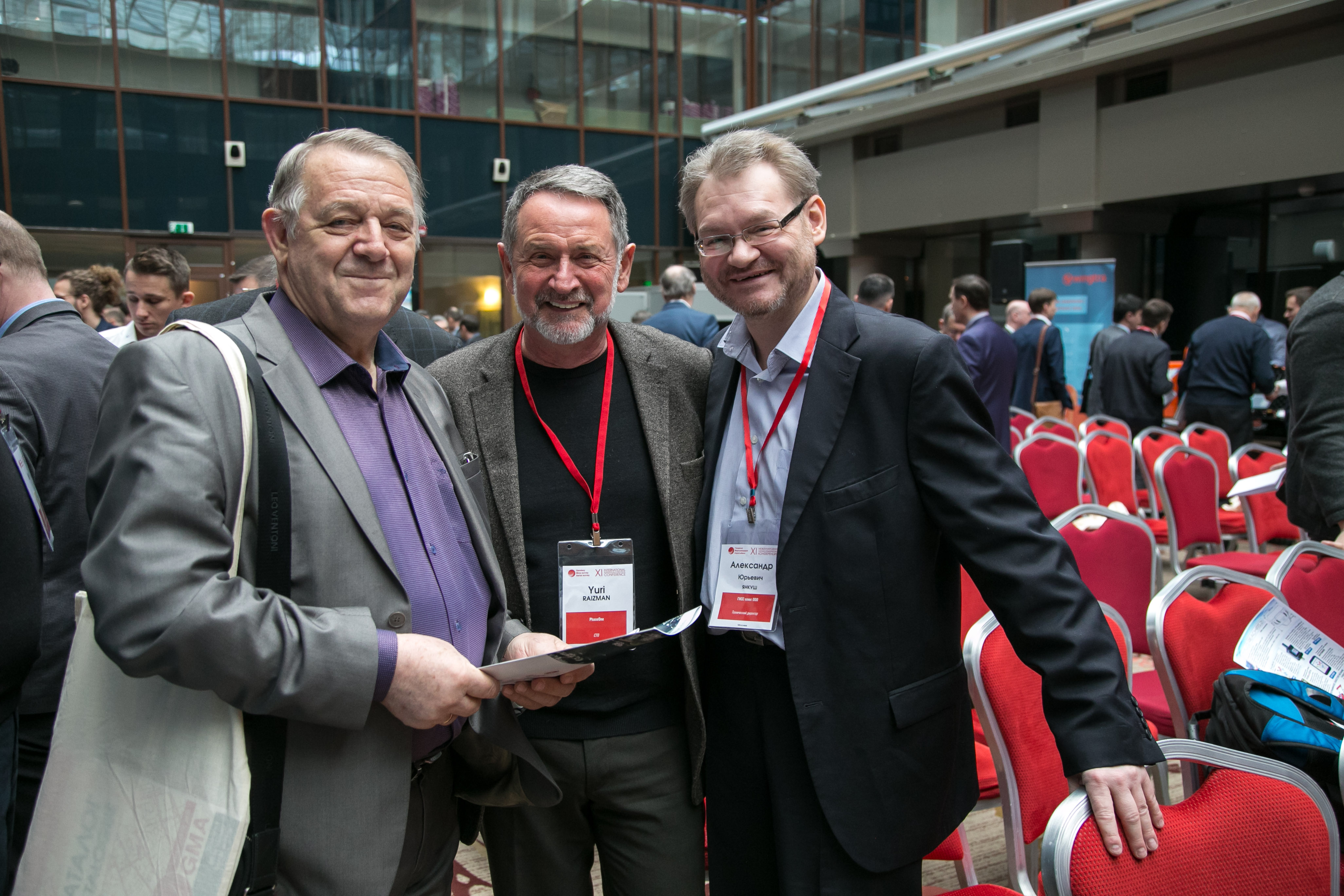
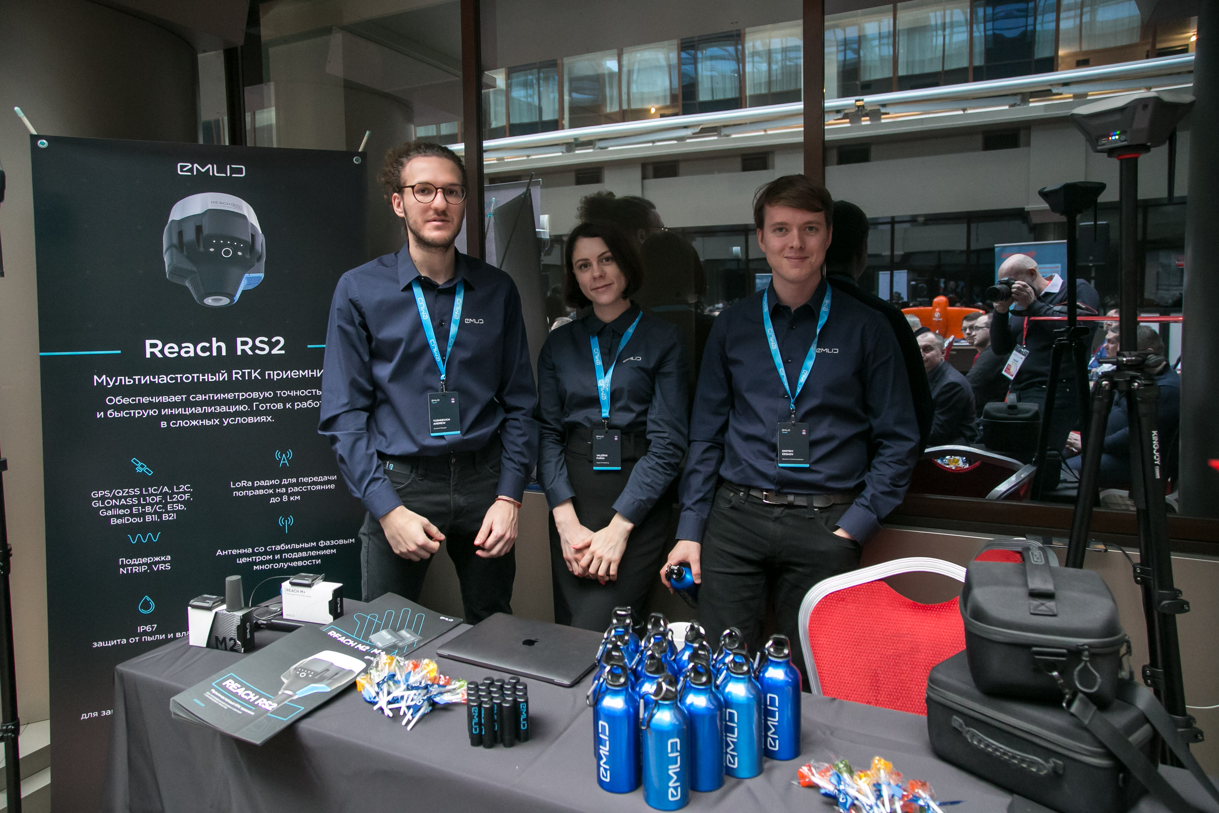
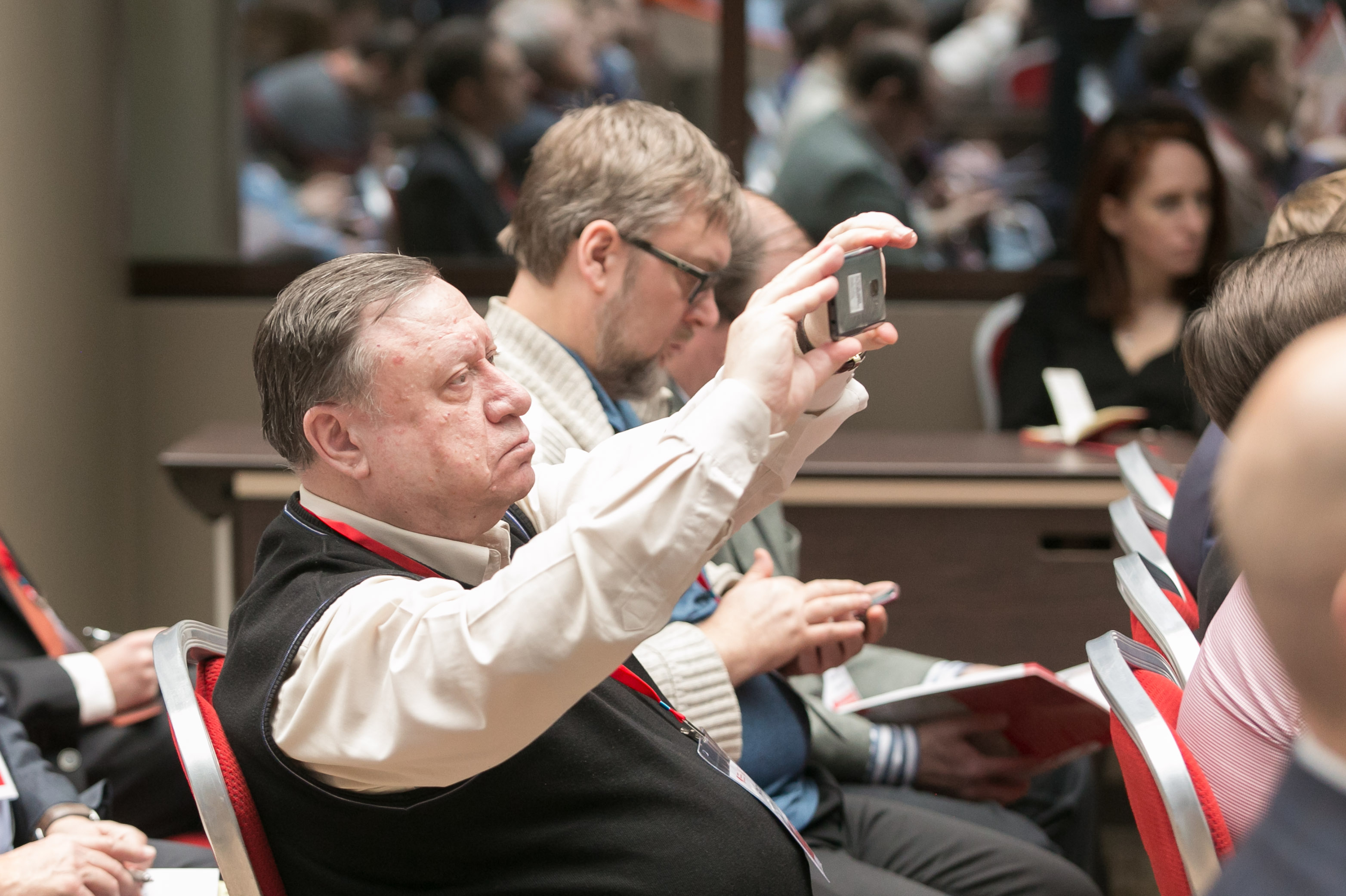
XI International Scientifically-Practical Conference “Geodesy, Mine Survey and Aerial Topography”


IDS Technologies Company – an absentee participant in the conference. Presentation can be downloaded here
February 13, 2020
08:30 – 09:00 – Welcome coffee break
09:00 – 10:00 – Registration of participants
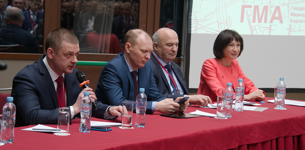
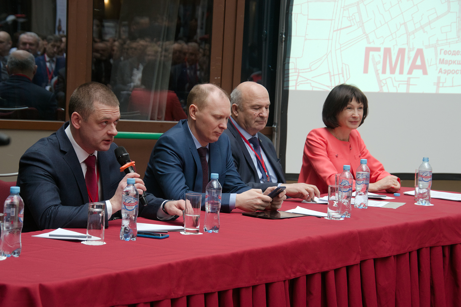
Grand opening of the conference
Plenary session
10:00 – 10:10 – Vyacheslav Spirenkov – “Rosreestr”, Deputy Head – Welcome speech
10:10 – 10:20 – Aleksandr Rebriy – “Center for Geodesy, Cartography and Spatial data infrastructure”, director – “Center of Geodesy, Cartography and SDI”: 2019 results and development prospects”
10:20 – 10:30 – Valeryi Filatov – “Russian Space Systems”, chief designer for geodetic technologies – “Antarctica – the work of military topographers to create the initial geodetic base and its mapping”
10:30 – 10:45 – Fyodor Shkurov – Advisor to the Director of the Center for Geodesy, Cartography and IPD – “Spatial Data in the Digital Economy (Selected Findings of a Systematic Research 2018-2019)”
10:45 – 11:00 – Sergey Karutin – “Roscartography”, General Director – Welcome speech
11:00 – 11:15 – Sergey Varushchenko – “ESTI” Group, president – “GIS in Russia. Reality and Myths
11:15 – 11:30 – Vladimir Gershenzon – NTI AERONET, Head of Monitoring – “Efficiency, Conservatism – New Trends in Remote Sensing”
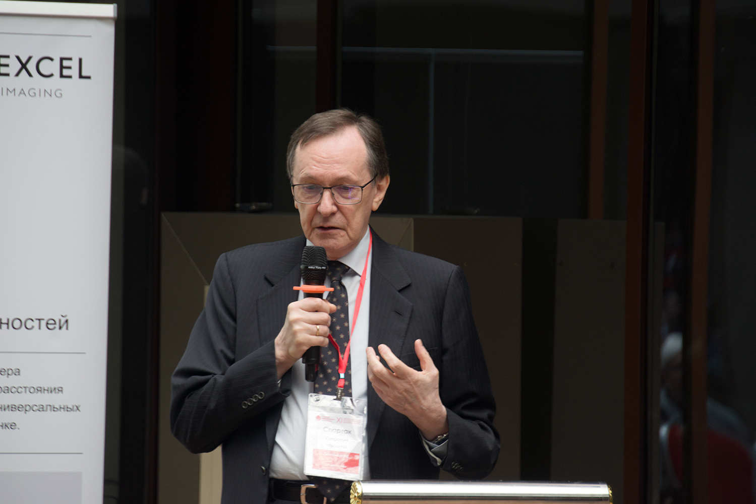
11:30 – 11:45 – Spartak Chebotaryov – “Sigma Metrix”, President of the company – “Experience in mass 3D object modeling of buildings using the examples of the TynAO-2018 and TiNAO-2019 projects»
11:45 – 12:00 – Coffee break
Moderator – Vladimir Gershenzon, Nti Aeronet
12:00 – 12:15 – Dmitryi Nikolskyi – Sovzond, technical director – “Current state and prospects for the development of the remote sensing industry”
12:15 – 12:30 – Vyacheslav Fateev – “VNIIFTRI”, head of the center 82 NIO-8 – “Point of gravimetric collocation and its use in geological exploration”
12:30 – 12:45 – Victor Akovetskyi – Russian State University of Oil and Gas, acting Head of the Department of Geoecology – “Geoecology, geoinformatics, management: synergy of models and technologies in the tasks of the oil and gas complex”
12:45 – 13:00 – Elena Mazurova – “Center of Geodesy, Cartography and SDI”, deputy director – “Current state of state geodetic networks”
13:00 – 13:15 – Valentin Shvidky – MIIGAIK university, senior researcher, associate professor of the Department of Applied Geodesy – “Geodetic methods for monitoring the deformations of the impending span of a steel bridge on the capital supports”
13:15 – 14:00 – Lunch
SESSION 1
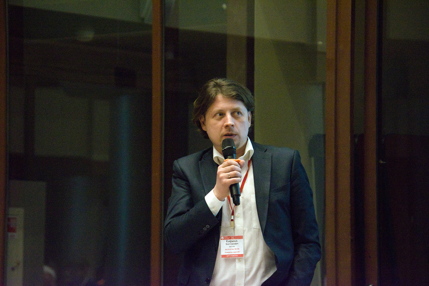
Moderator – Kirill Vasin, R&PC GPSCOM
14:00 – 14:15 – Andrey Shumakov – ICEYE, Regional Director – “The new operating satellite SAR constellation is at your service. Products, services, opportunities”
14:15 – 14:30 – Vladislav Lopatin – FSUE VNIIFTRI, Ph.D. – “Practical applications of GNSS reflectometry on board an aircraft”
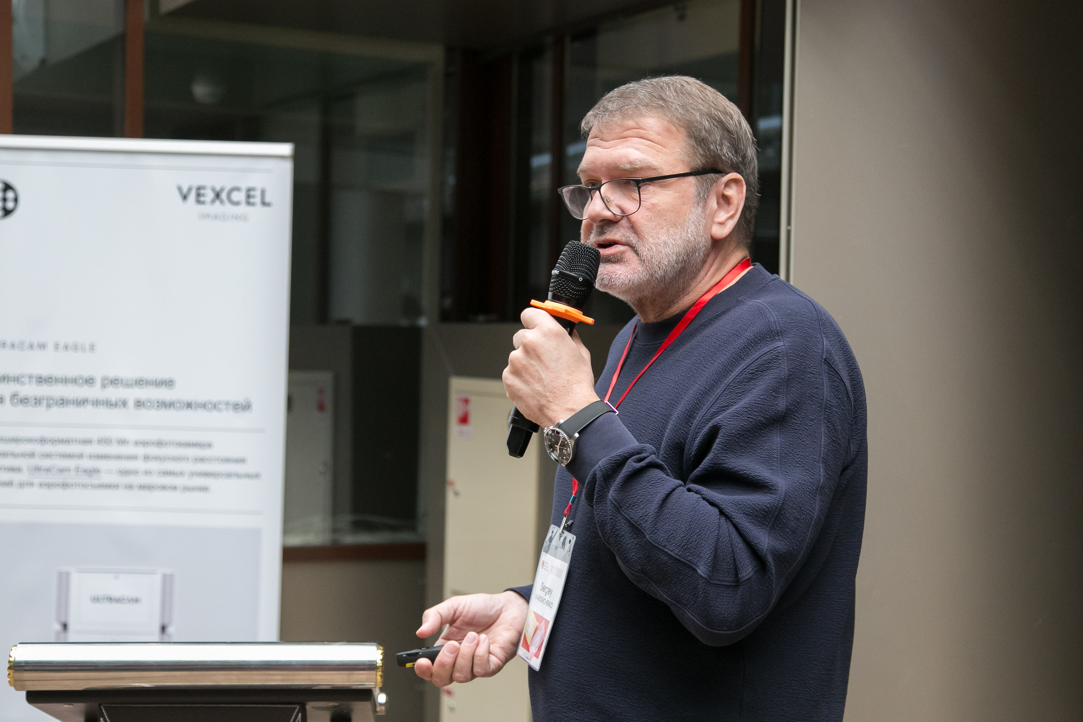
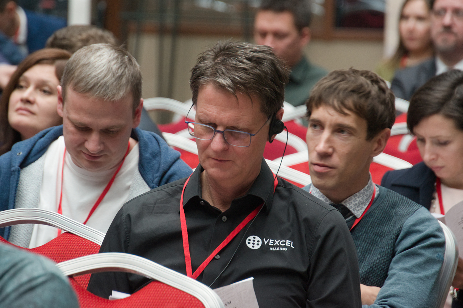
14:30 – 14:50 – Alexander Wiechert – Vexcel Imaging GmbH (Austria), Director – “Updates of the Vexcel Imaging product line”
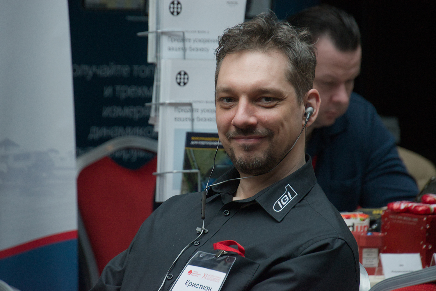
14:50 – 15:10 – Christian Grimm – IGI (Germany), Sales Director – “IGI Technical Solutions & Company News”
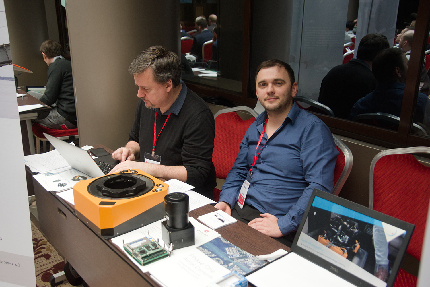
15:10 – 15:25 – Rambousek Vit – PhaseOne, Regional Manager – “The New Generation of PhaseOne Aerial Camera and Systems”
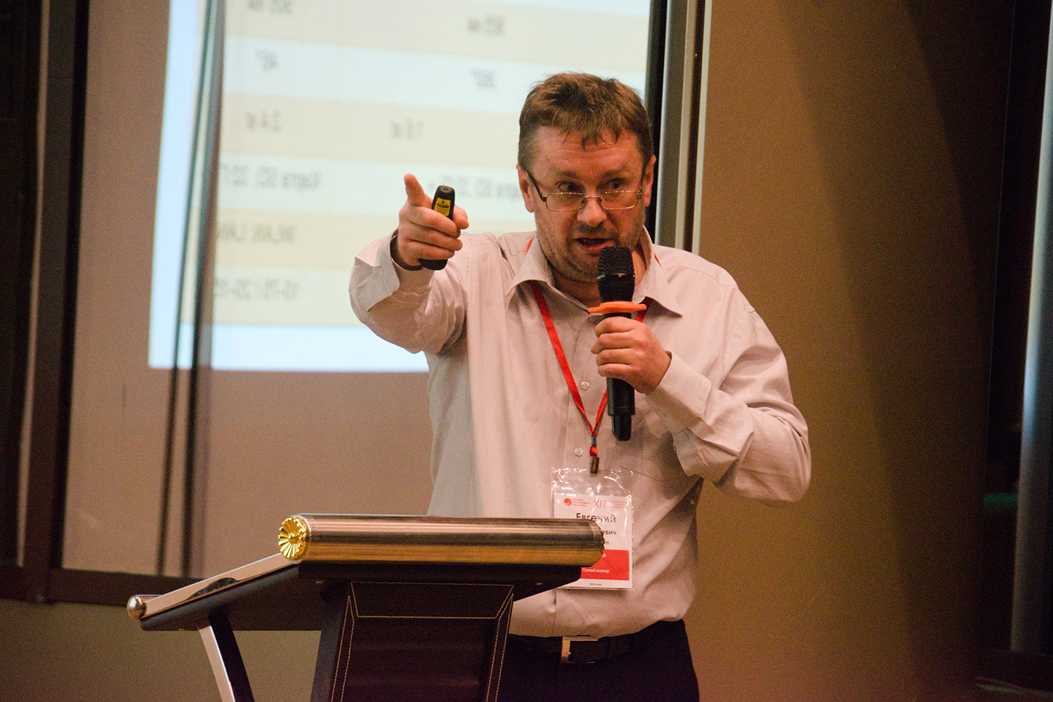
15:25 – 15:40 – Evgeny Rybakov – FSUE VNIIFTRI, Ph.D. – “Quantum level and its practical application”
15:40 – 15:45 – Coffee break
15:45 – 16:00 – Evgeny Kalabin – ArtGeo, Leading Engineer of the Laser Scanning Department – “Laser Scanning Systems for UAVs”
16:00 – 16:15 – Mikhail Vyunov – R&PC “Jena Instrument”, Head of Processing Department – “Photogrammetric processing of surveys from multi-objective optical systems in Pix4DMapper”
16:15 – 16:30 – Ivan Nizovtsev – SOMAG AG Jena (Germany), application engineer – “Gyrostabilized platforms – a winning solution for cost-effective data collection”
Session 2
Moderator – Andrey Mazurkevich, VNIIFTRI
16:45 – 17:00 – Vladimir Skantsev – “Kronstadt Group”, Deputy Director of the Defense Solutions Division, chief designer of GIS and AIS – “A single geographic information space. Practical aspects of construction”
17:00 – 17:15 – Nikolay Filin – Rosneft NTC – Leading Specialist of the Department of AI Technology Development and Design – Experience in the application of 3D data acquisition technologies. Search for ideas and solutions for LLC NK Rosneft-STC»
17:15 – 17:30 – Dmitry Kiselyov – Transneft Research Institute, Leading Researcher – “Remote sensing technologies for pipeline transport facilities for geotechnical monitoring”
17:30 – 17:45 – Anna Deykun – “VNIIFTRI”, geodesist engineer – “Development of a method for reducing the measurement error of signal propagation delays in optical elements”
17:45 – 18:00 – Nikolay Golygin, V. Belomyttsev – MIIGAIK university, chief metrologist – “Calibration of the measuring system “Digital level + bar code rail“”
18:00 – 18:15 – Vladimir Seredovich – SRO ASONO, President, Professor, NGASU – Modern methods and means of geodetic control in construction
18:15 – 23:00 – Gala dinner
February 14, 2020
10:00 – 10:20 – Welcome coffee break
Session 3
Moderator – Vdovin Vladimir Stepanovich, “Russian Space Systems”
10:20 – 10:30 – Aleksandr Zaliznyuk – head of the Military Topographic Directorate of the General Staff of the RF Armed Forces – head of the topographic service of the RF Armed Forces – Topic to be confirmed
10:30 – 10:45 – Vladimir Vdovin, G. Steblov, Y. Habsarov – “Russian space systems”, head of department – “Accounting for geodynamic influences in high-precision positioning. Current state and development prospects”
10:45 – 11:00 – Irina Anikeeva – “Roscartography”, Senior Researcher – “Metrological support of aerial and space imagery materials obtained for mapping purposes in terms of assessing fine quality”
11:00 – 11:25 – Mikhail Karavanov – Trimble Export – “Trimble ProPoint – a marketing move or the next level of GNSS capabilities?”
11:25 – 11:40 – Renat Zagretdinov – Kazan (Volga) Federal University, Associate Professor of the Department of Astronomy and Space Geodesy – “Special purpose geodetic networks and their use in surveying, surveying and surveying”
11:40 – 11:55 – Igor’ Lisovoy – Design Bureau NAVIS, Deputy General Director – Project Manager for the Promotion and Sales of High-Precision Equipment – Domestic high-precision positioning technologies
11:55 – 12:10 – Ivan Gnevanov – “Mobile”, head of the GIT department – “Monitoring the movement of land by radar for mine surveying and geodetic activities”
12:10 – 12:20 – Evgenyi Plyusnin – R&PC GPSCOM, Chief Engineer – “Application of inertial modules in the creation of machine robots”
12:20 – 12:30 – Coffee break
Session 4
Moderator – Pirogov Andrey Nikolaevich, Firm Racurs
12:30 – 12:45 – Andrey Sechin – Rakurs company, scientific director – “Affordable photogrammetry – stereo measurements on a smartphone”
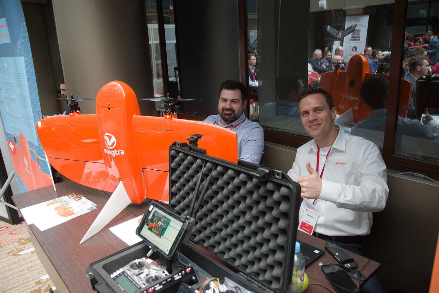
12:45 – 13:00 – Antonio Živolić – Wingtra (Switzerland), Manager, responsible for Eastern Europe and the Asia-Pacific Region – “Achieving absolute accuracy of 1 cm in surveying and cartography using an aircraft-type UAV”
13:00 – 13:15 – Dmitryi Kaufman, K. Vasin – GeoCAD Plus, Deputy Production Director – “Creating a Regional 3D GIS on the GSEE platform, filling in nadir-perspective aerial photographs from senseFly S.O.D.A.3D camera and ground-based laser scanning materials”
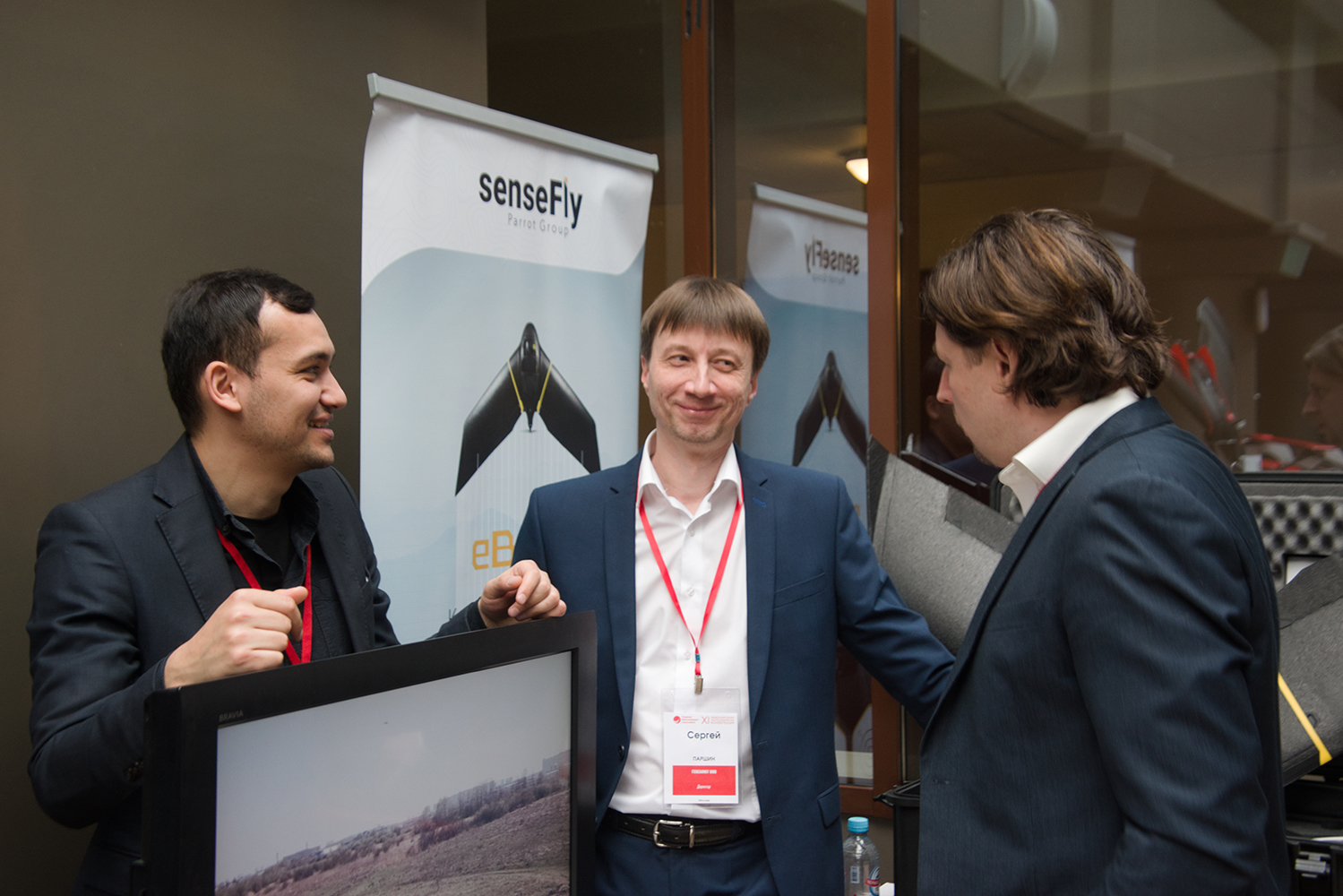
13:15 – 13:30 – Aliakbarov Mirakhmad – senseFly (Switzerland), CIS Manager – “senseFly – the world leader in the field of fixed-wing drones”
13:30 – 14:15 – Lunch
Session 5
Moderator – Vladimir Kurkov, MIIGAiK
14:15 – 14:30 – Sergey Kadnichanskyi – “Geoscan” Group, Deputy General Director for Aerial Photography and Geodesy – “Implementation of large-scale projects of aerial photography using UAV”
14:30 – 14:45 – Sergey Filippov – AZOTTEH, Head of the Department of Geodesy and Mine Surveying – “Use of UAVs for the production of surveying”
14:45 – 15:00 – Aleksandra Kiselyova – MIIGAIK university, Senior Lecturer – “Practical experience in building a digital surface model for unmanned aerial photography”
15:00 – 15:15 – Danil Klestov – “Geoscan” Group, Deputy Director for Technology and Production – Certification Tests of the “Gemini” Aerial Photographic Survey Software and Hardware Complex
15:15 – 15:30 – Vladimir Kurkov – MIIGAIK university, Associate Professor – “Unmanned aerial photography and photogrammetry in geodesy and cartography. Personnel training”
15:30 – 15.45 – Nikolay Babashkin, S. Nehin – “Center for Geodesy, Cartography and SDI” – “On the issue of choosing an unmanned aerial survey complex for topographic mapping”
15:45 – 16:00 – Aleksandr Makarov – MIIGAIK university, chief specialist – “Automated Territory Monitoring System (ASMT)”
16:00 – 16:05 – Coffee break
Session 6
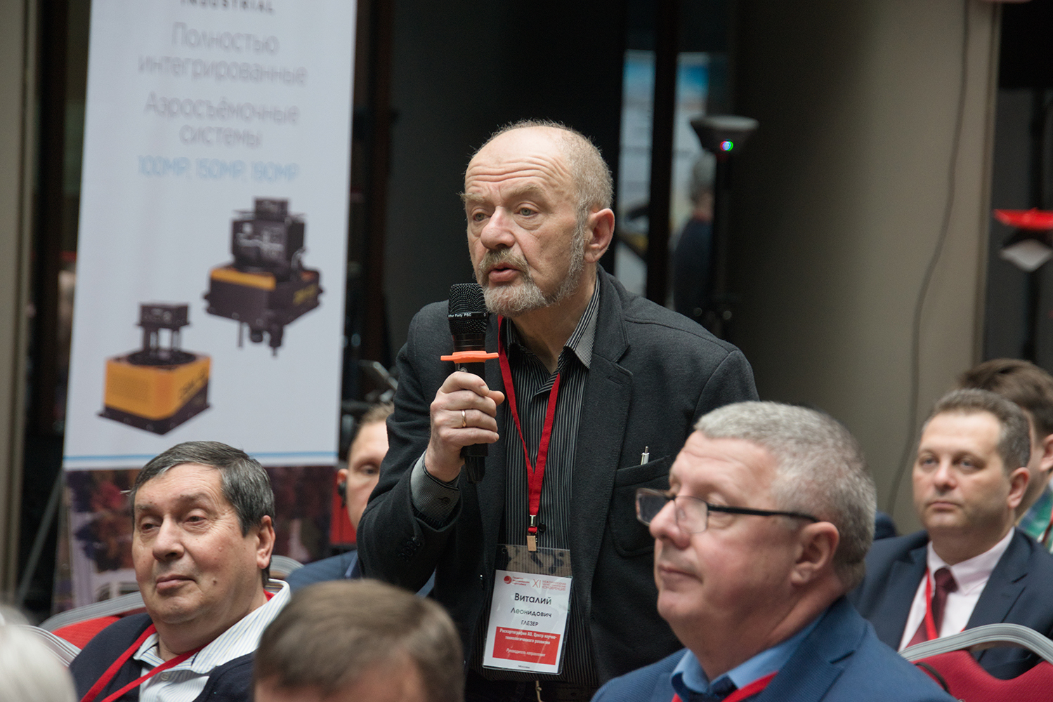
Moderator – Vitaly Gleser, Roscartography
16:05 – 16:20 – Vasilyi Novikov – Research Institute “ET” ENERGOTRANSPROEKT “, Head of the Department of Archeology -” Experience in the use of ALS based on UAVs for the study of archaeological sites. New approach and results”
16:20 – 16:40 – Kirill Vasin – R&PC GPSCOM, Head of the Aerial Photography Department – “New Opportunities for Solving Special Problems Based on UAV Data in the Pix4D Photogrammetric Software Line”
16:40 – 16:55 – Aleksandr Prohvostov – Maxima, Technical Support Engineer – “The latest Hexagon GeoMax solution: integration of UAV data with ground-based geospatial data into a single workflow using the GeoMax xPad Fusion software as an example”
16:55 – 17:10 – Sergey Kozachenkov – “VNIIFTRI”, head of the laboratory – “Study of a promising metrological complex for measuring lengths in laboratory conditions”
17:10 – 17:25 – Maksim Khanzadyan – “VNIIFTRI”, Ph.D. – “A complex of means of metrological support of azimuth measuring instruments”
17:25 – 17:40 – Maxim Kaveshnikov – 27 Scientific Research Institute of the Ministry of Defense of the Russian Federation, Senior Researcher – “Issues of creating and using networks of differential geodetic stations for the modernization of the State Geodetic Network”
Master classes
February 14, 2020.
10:00 – 12:00 – Aleksandr Kirichenko – Design Bureau “Panorama”, project manager – “Dynamic 3D-terrain models. Options for creating and types of source data”
12:00 – 13:00 – Denis Antoshkin – GISware Integro – “New functionality of TERRASOLID software”
14:00 – 15:45 – Ivan Luchkin – Geoscan Group, Software Supply Specialist – “Remote sensing data processing in Agisoft Metashape”
18:00 – 23:00 – Summary and farewell dinner